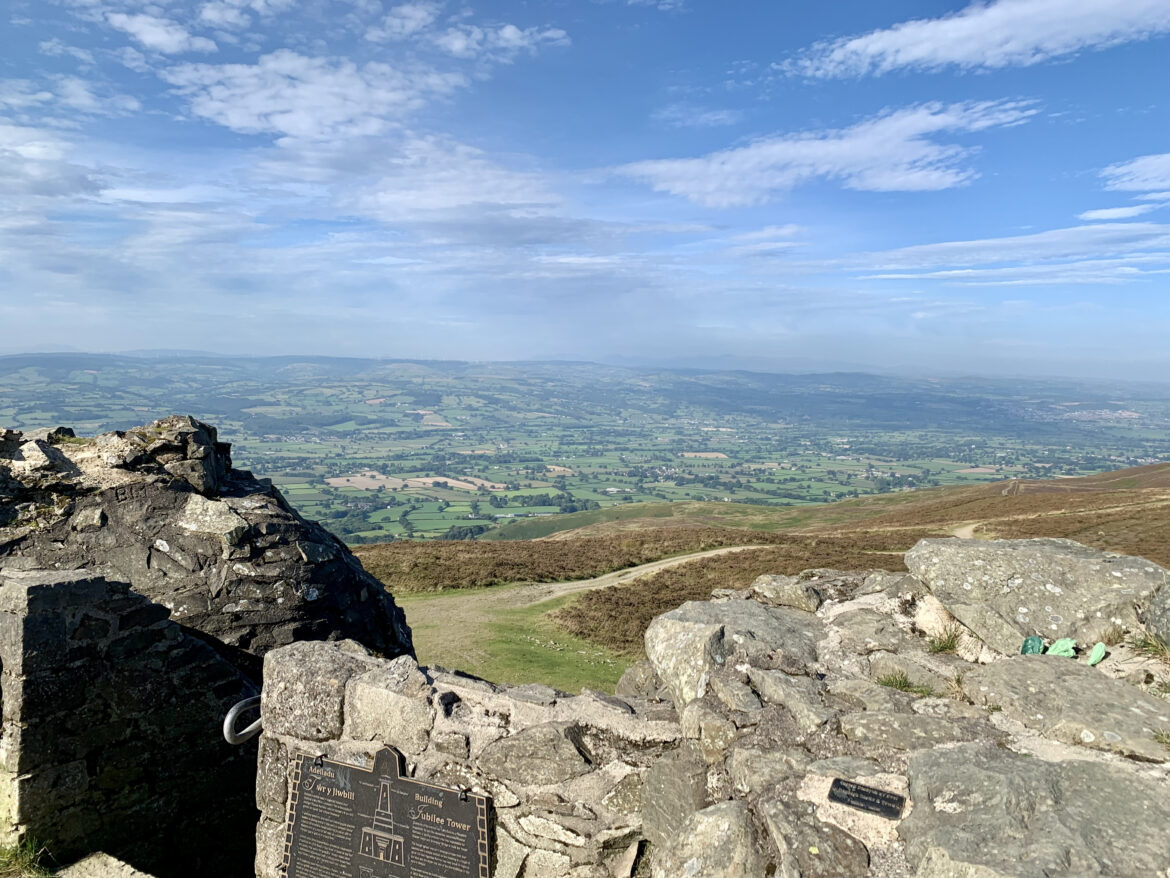
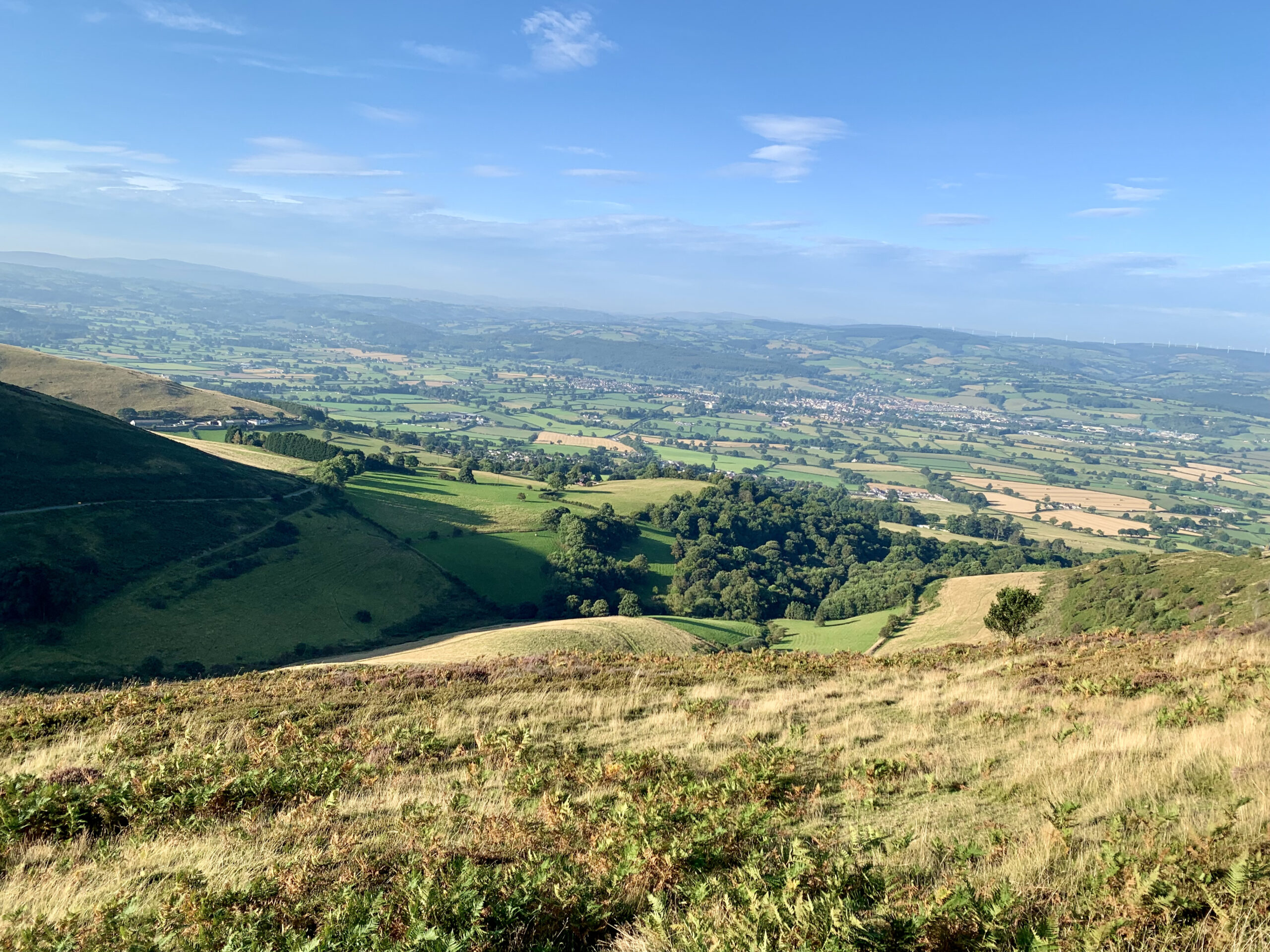
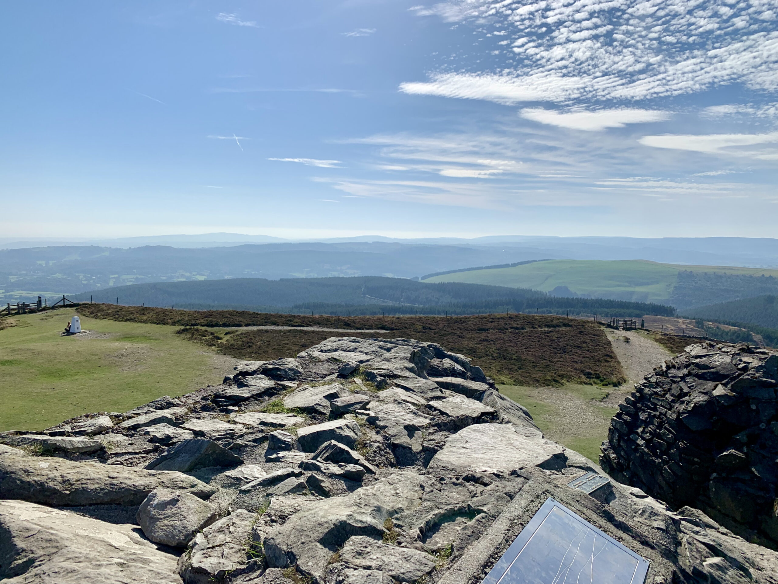
Something I have wanted to do for a lot of years now, but never got around to doing, was climb a mountain, any kind of mountain will do, it is just something that interests me. Well I didn’t quite make it up an actual mountain, apparently any peak above 600 meters (2000 feet) is classed as a mountain in the UK, but Moel Famau is pretty damn close in my books. At 554 meters (1818 feet) it is the highest summit in the Clwydian Range and has stunning views across North Wales and towards the North West of England. At the top of Moel Famau sits the ruins of the Jubilee Tower which was built in 1810 for the golden jubilee of King George III.
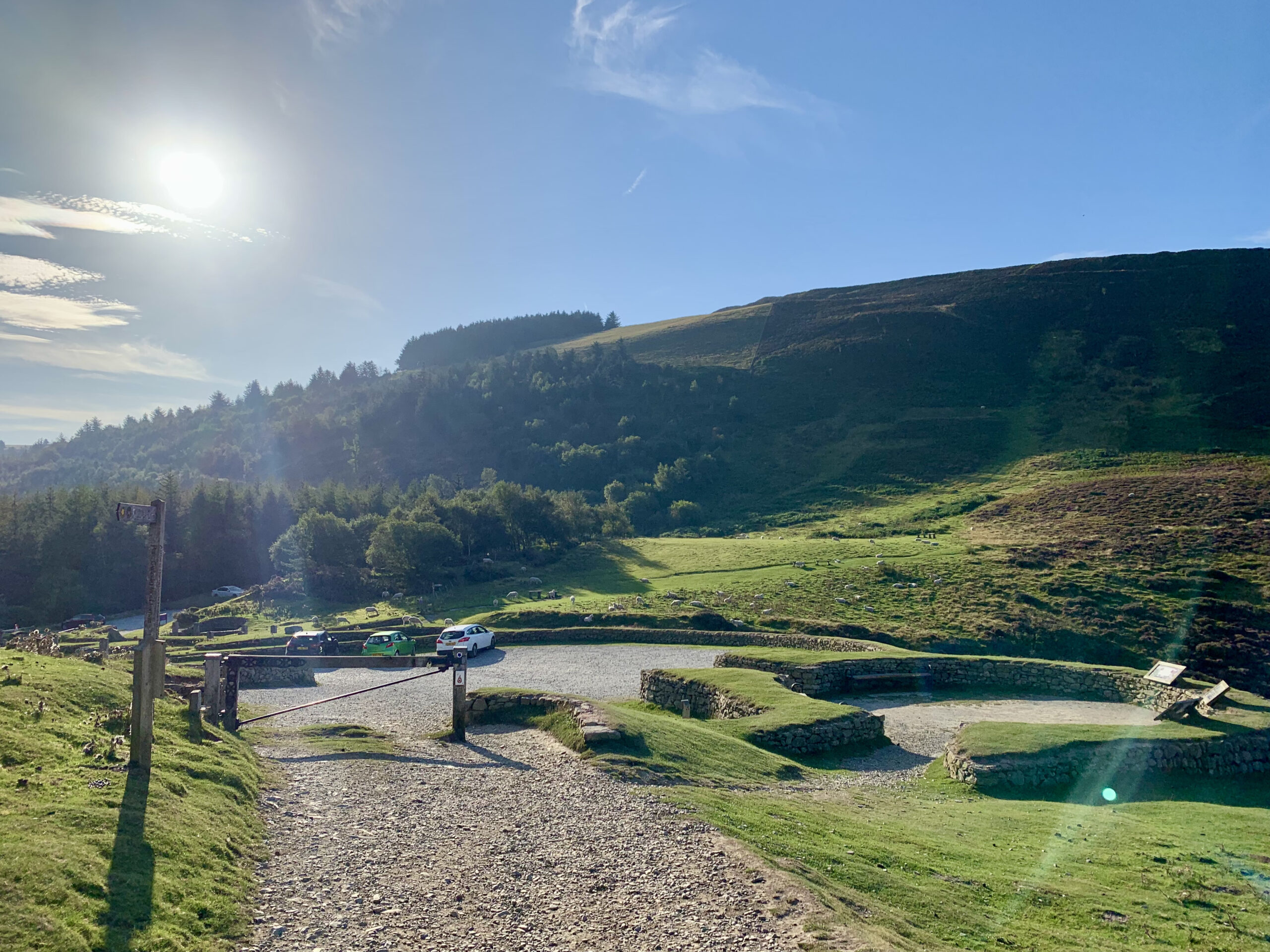
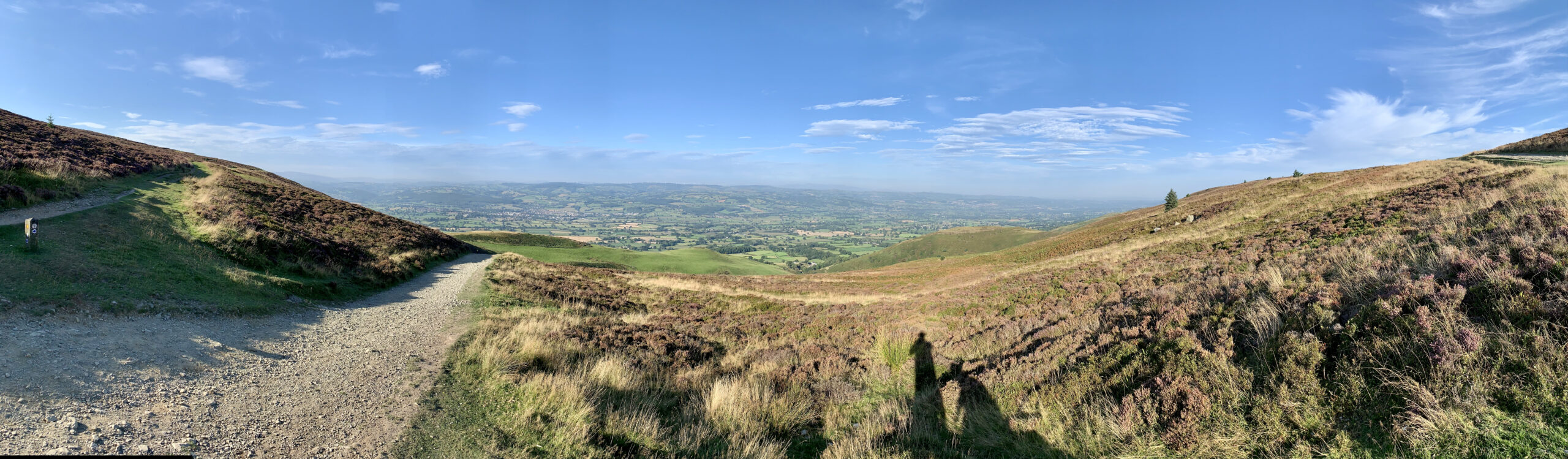
Not being the fittest of people we opted to park up in a car park pretty high up the peak, which meant it would be an easier walk to the summit. Now this would of been true is ‘yours truly’ had done his research prior to arriving. Walking from the car park it was not too long before the track split in two with the one path rising up through the heather and the other looking as though it went down the mountain, so I decided that we should take the upper pathway. This route gave us some amazing views as we walked through the heather slopes but it was pretty heavy going as most of it was pretty steep and we had to stop a few times along the way. Soon the track headed down a little and lo and behold it rejoined the other pathway, which as we now know because we took that route on the way back, is a much gentler incline around the side of the mountain. Oh well, it was an experience I guess, and it does not hurt to get the blood pumping every so often.
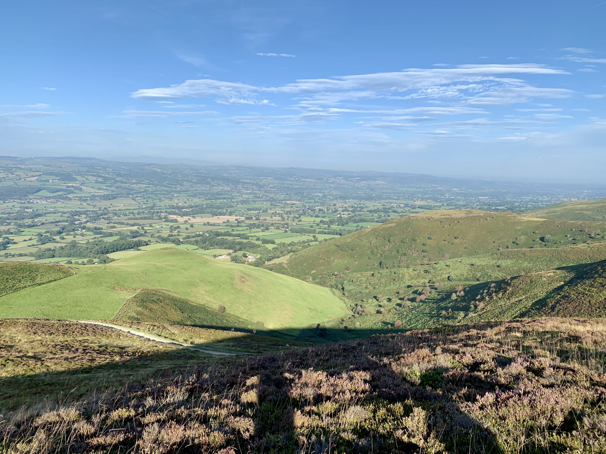
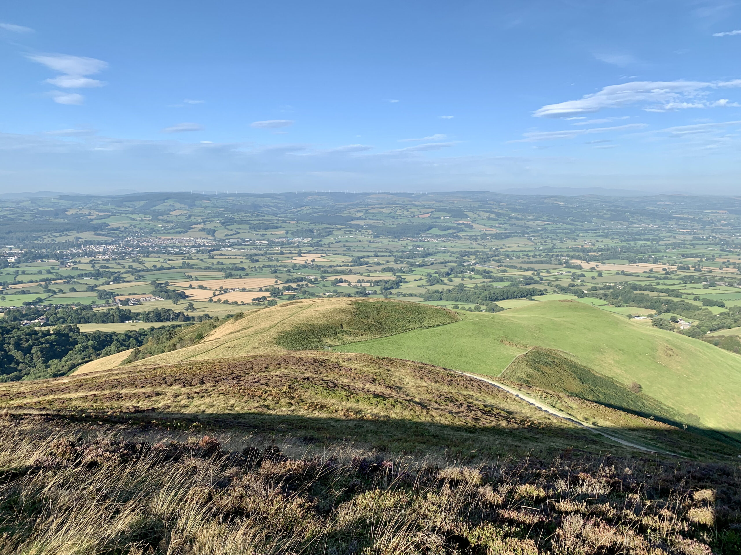
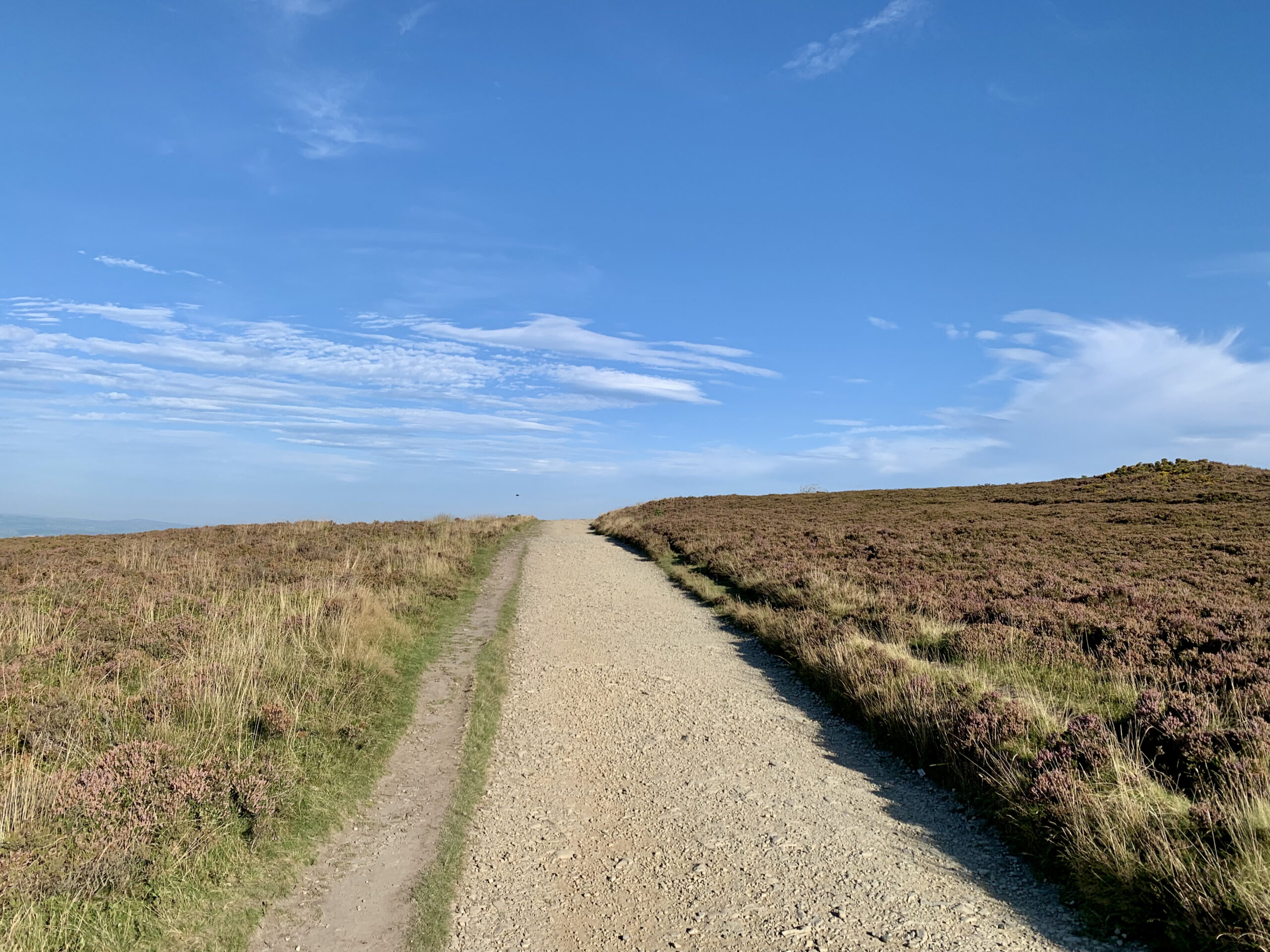
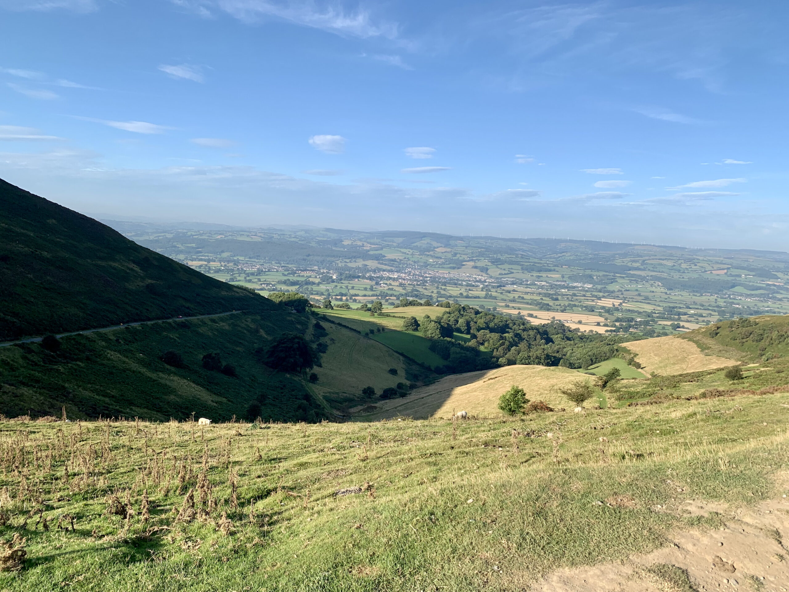
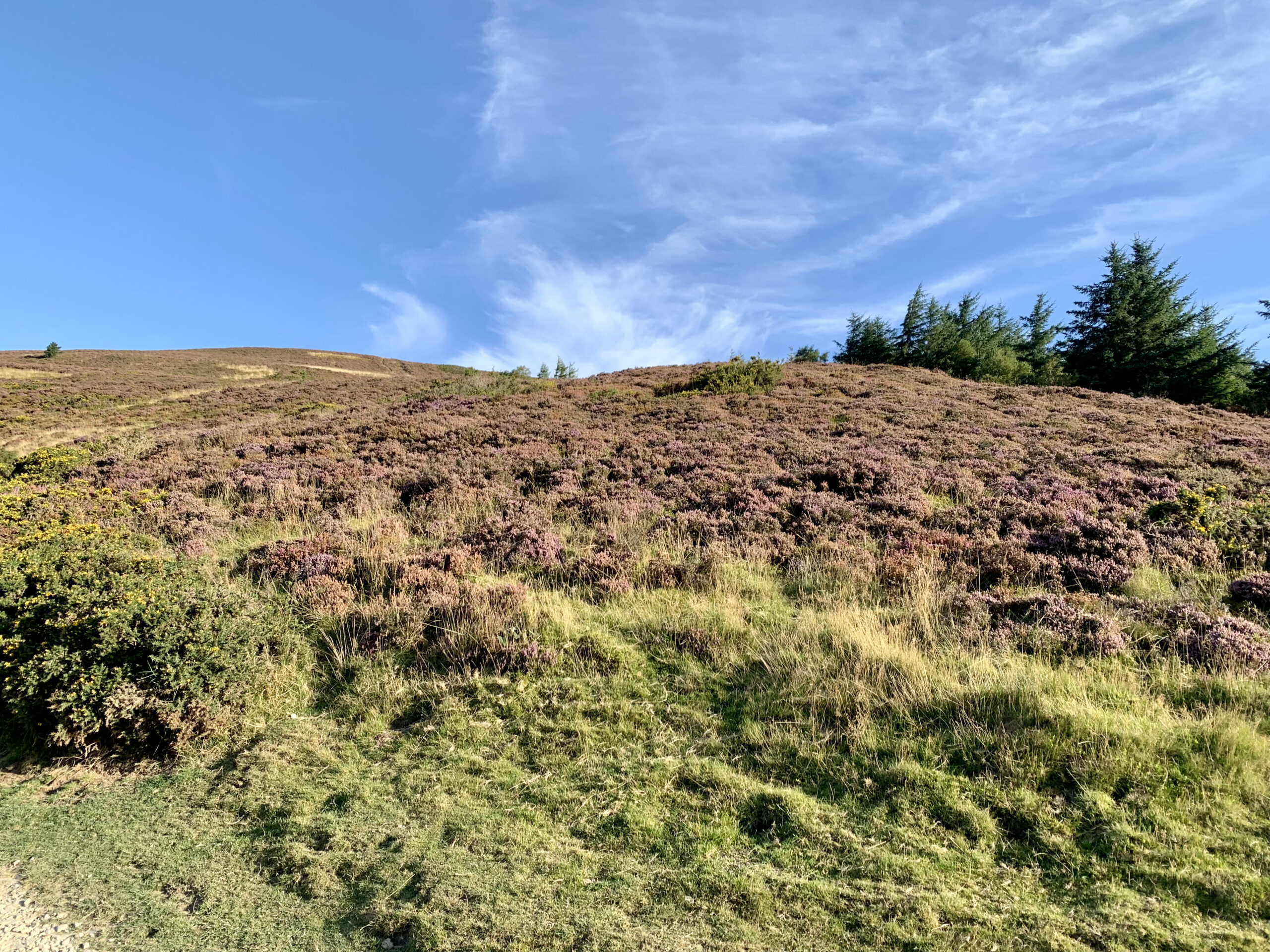
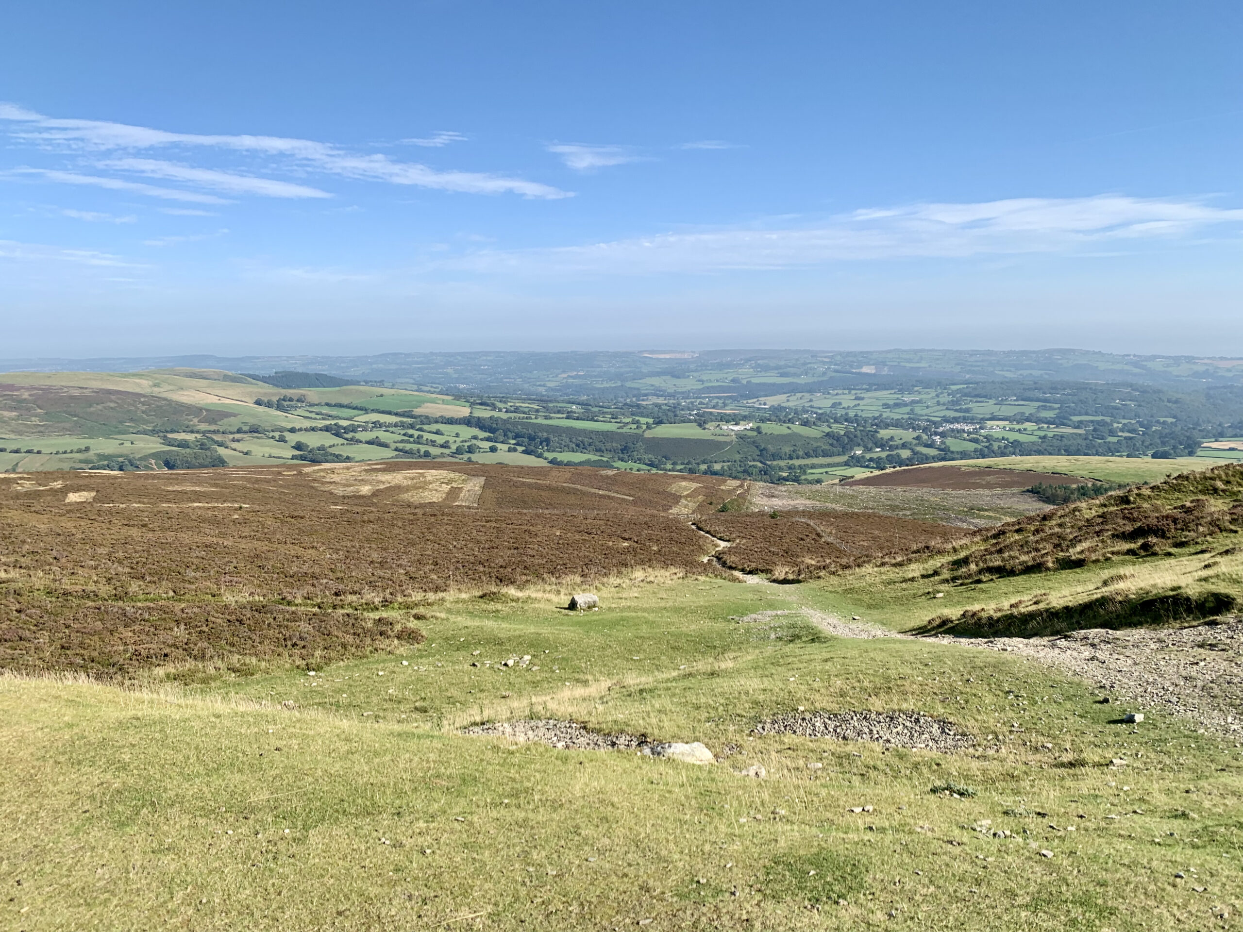
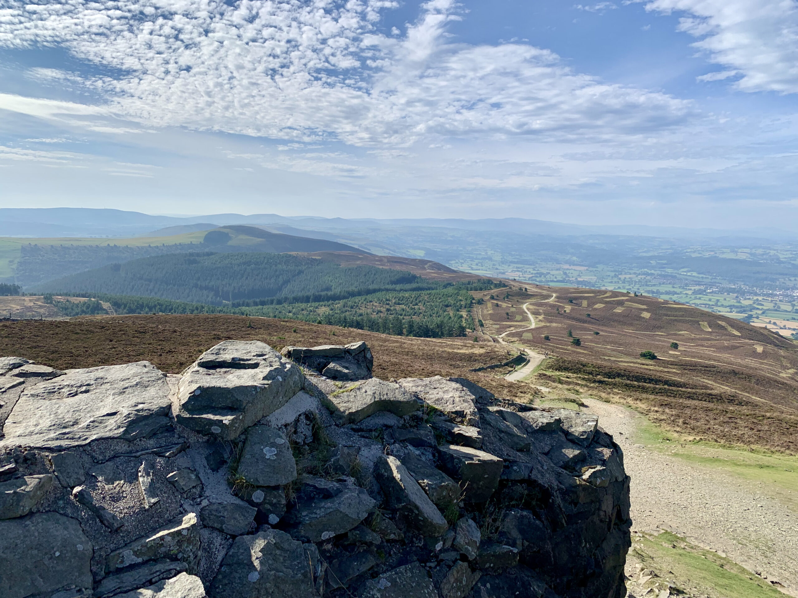
The scenery was breathtaking as we ambled along the stoney pathway that lead to the summit, with amazing views on the left across wales and gorgeous heather hillsides to the right. There was even sheep roaming freely around the sloes and every now and then you would spot just the head of one poking out above the heather as it was having a wee lie down. For the most part the pathway was a gentle incline but every so often it would steepen to get the legs burning, and some places were a lot steeper than others so we just took our time and stopped for a breather if we needed one.

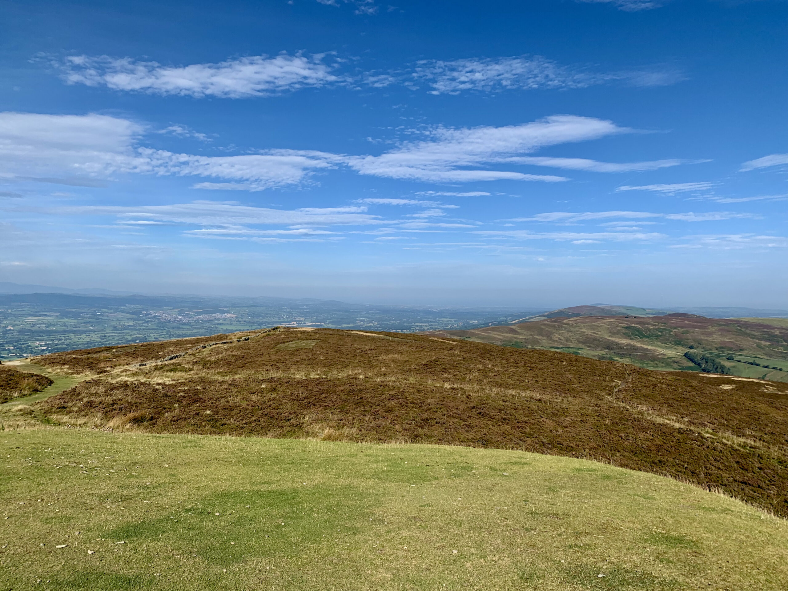
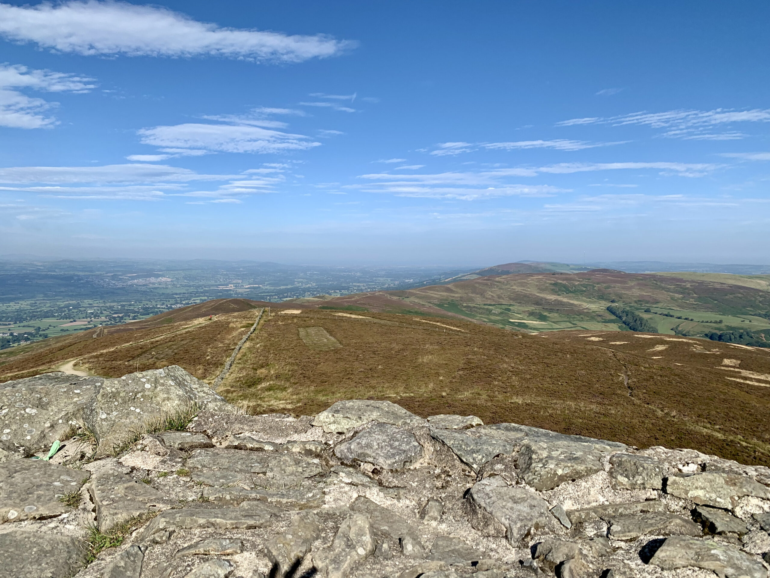
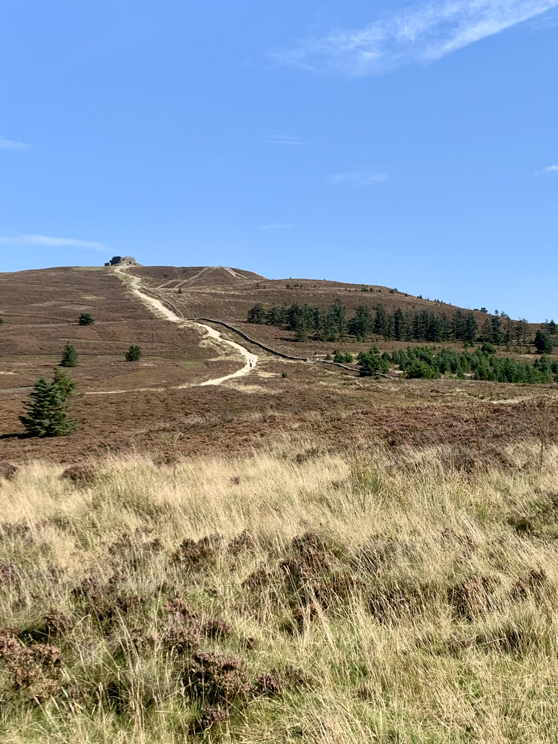
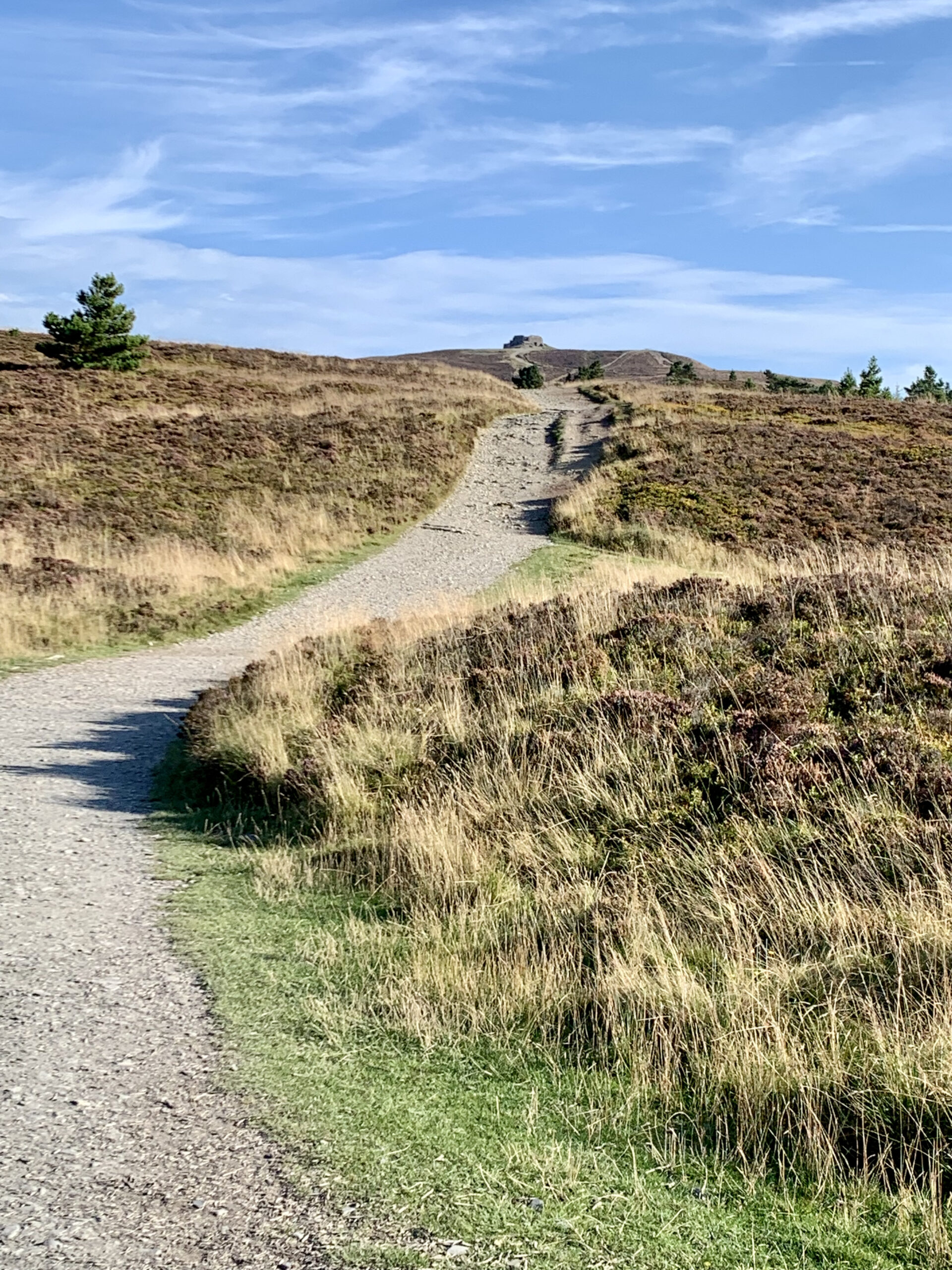
Here and there along the path there would be a gate which lead to another track taking you off across the side of the mountain, I guess they were the different routes that could be used to get to the top or bottom. The route that we took was roughly 3.5 miles and took us about 1.5 hours there and back according to my KOMOOT plotter app but I can’t remember if that included our sit down at the top. As we got higher we could start to see the tower sitting on the very summit but what i also noticed was that the pathway looked to be getting considerably steeper the closer we got to the top.
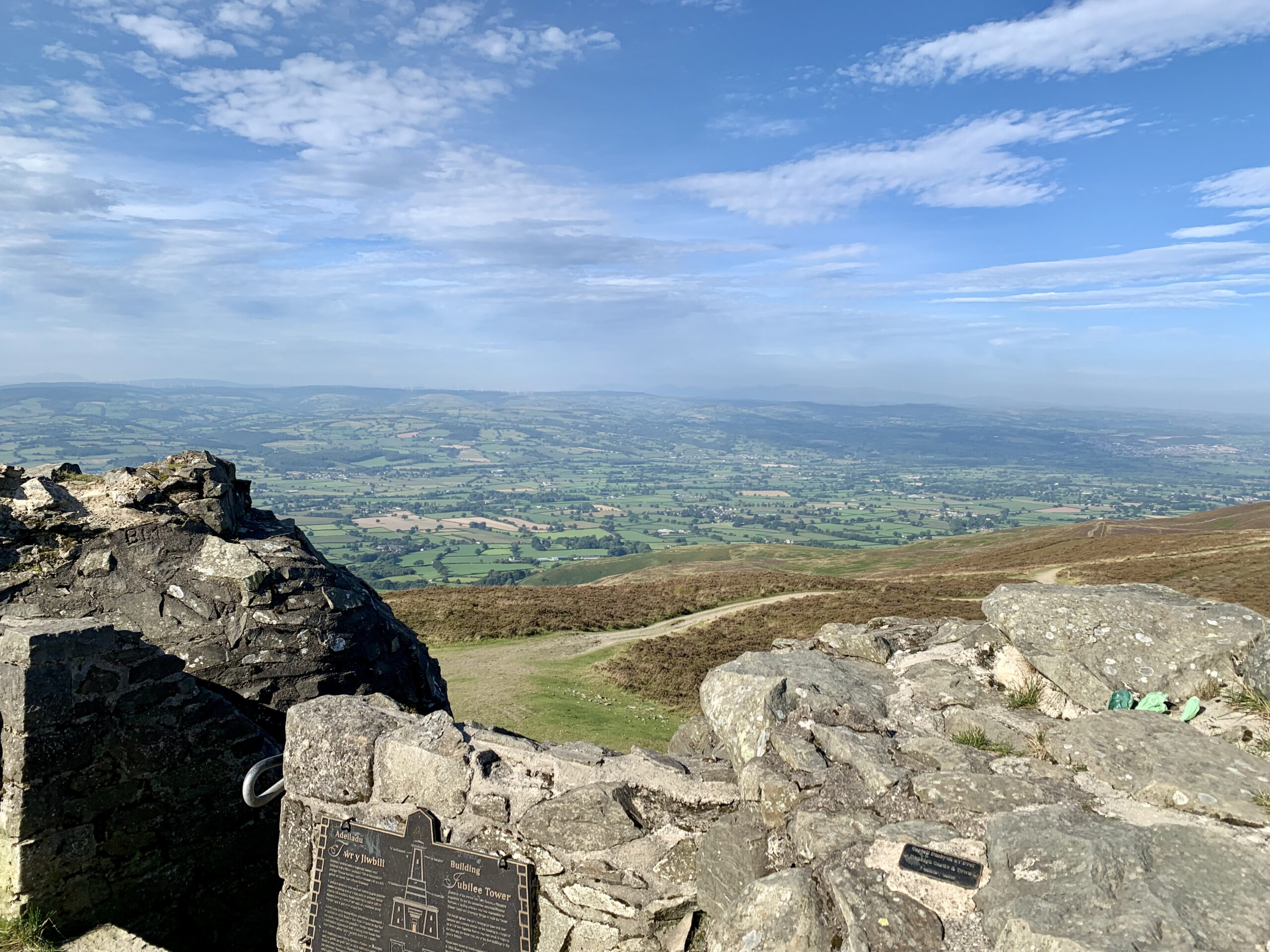
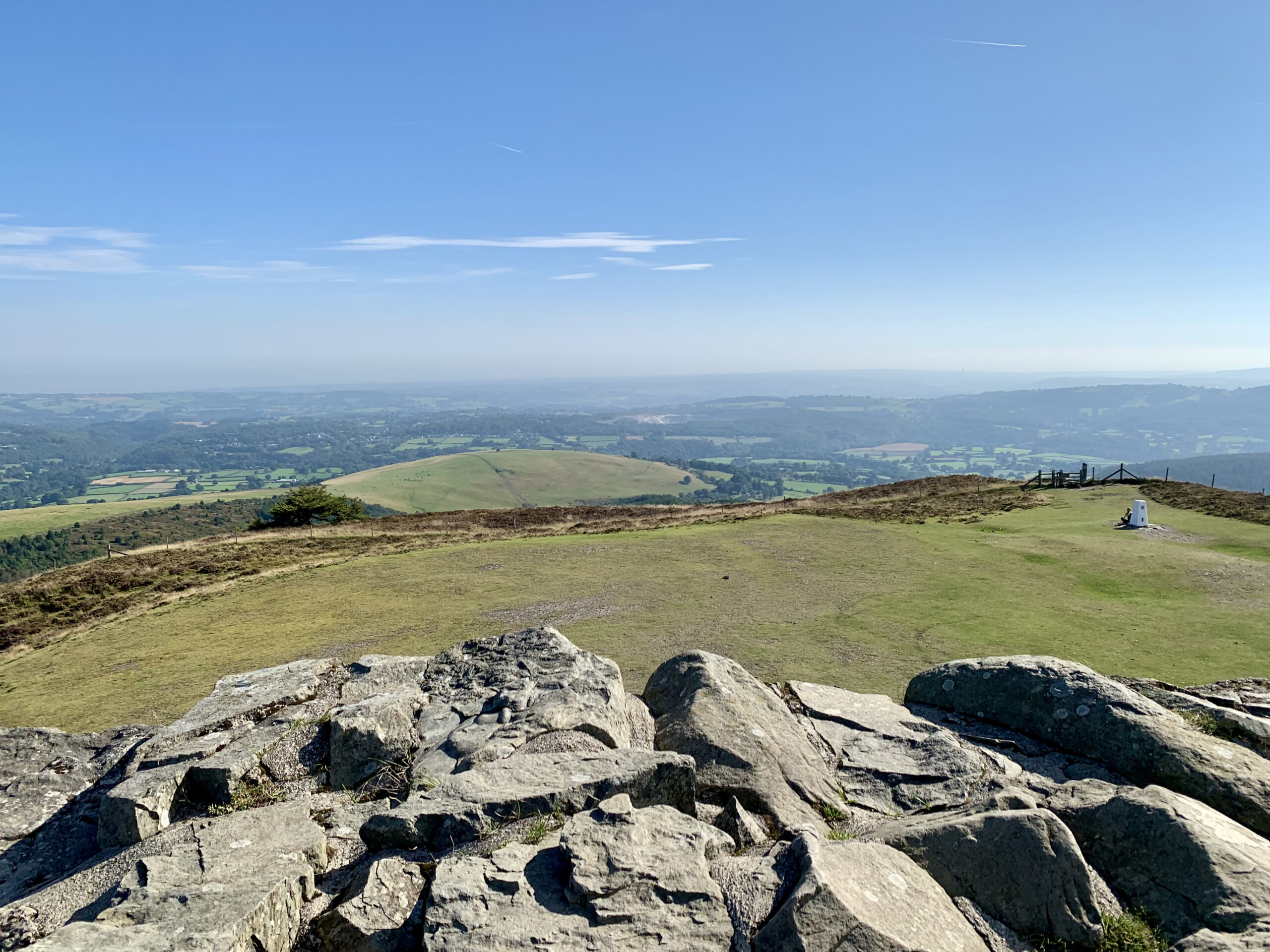
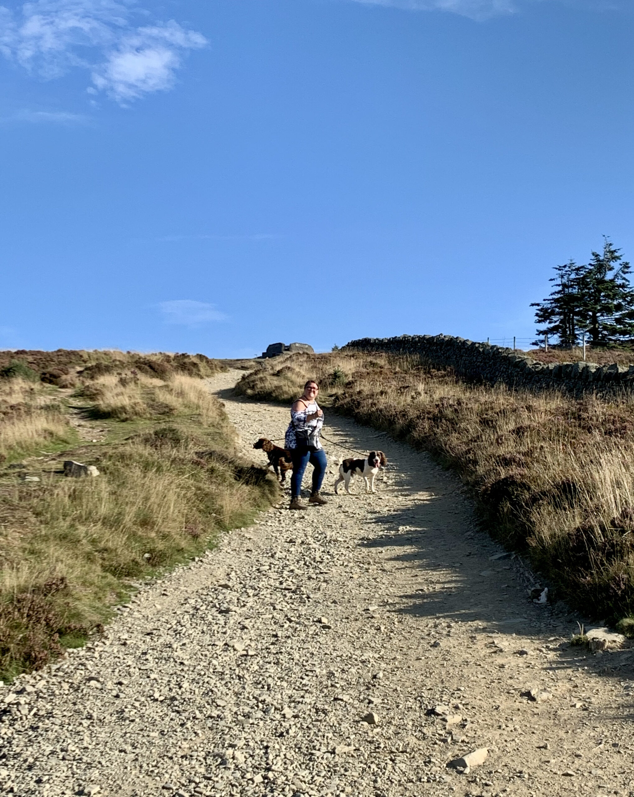
The last few hundred yards to the top were a bit of a crueller as the pathway got really steep and we had to have a rest a couple of times as we climbed higher. Yes I know, we are pretty unfit and it was a bit of an eye opener as to how unfit we actually were. It was not too long before we arrived at the top and boy what a view was to be had of the surrounding area. I do not think that the pictures we took can really convey the sheer beauty and scale of what we were looking at. We climbed to the top of the Jubilee Tower and just sat and surveyed the surrounding area whilst having a coffee and sandwich which iI had made earlier for the trip. Although it was pretty windy at the summit as soon as you sheltered from the wind it was really quite hot so after 30 minutes we decided to head back down the track to the car as we did not what our boys to get too hot.
If you want to follow the exact route that we took then click this LINK and it will take you to my plotted route on my KOMOOT profile.