For a while now I have wanted to walk the entire circumference of Canvey Island, and when I say a while I actually some 20 odd years, but until recently I did not actually think that it could done. Not until a year or so ago whilst browsing through one of the Essex hiking pages on Facebook that I stumbled upon a post from someone who had recently walked all the way round the Island. Whoop whoop said I, yes I know that I am a bit sad, and since then I have wanted to set off on this mini adventure for myself. Life and work did its best to scupper my ideas until recently when I decided to just get on with it and do the walk.
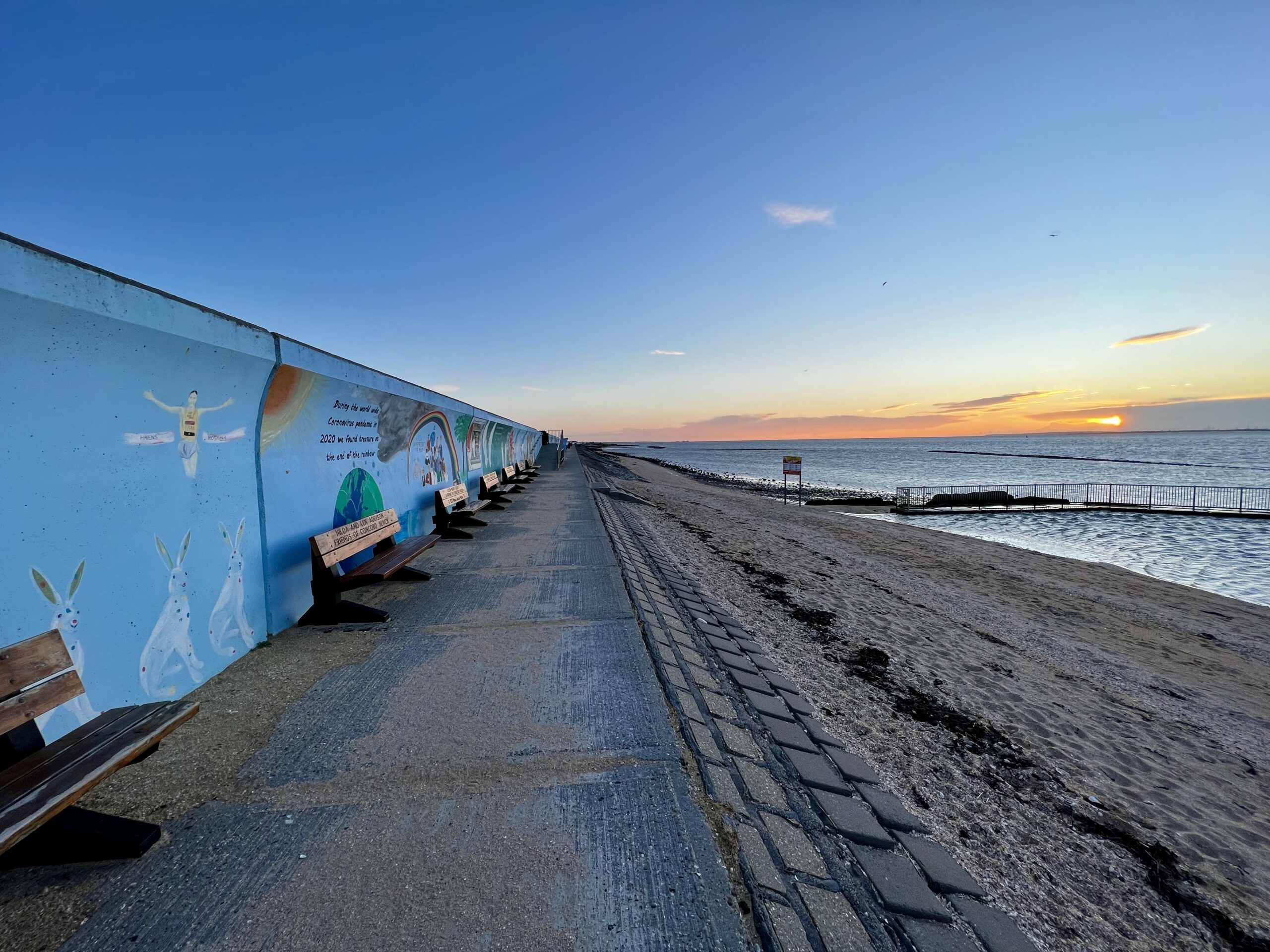
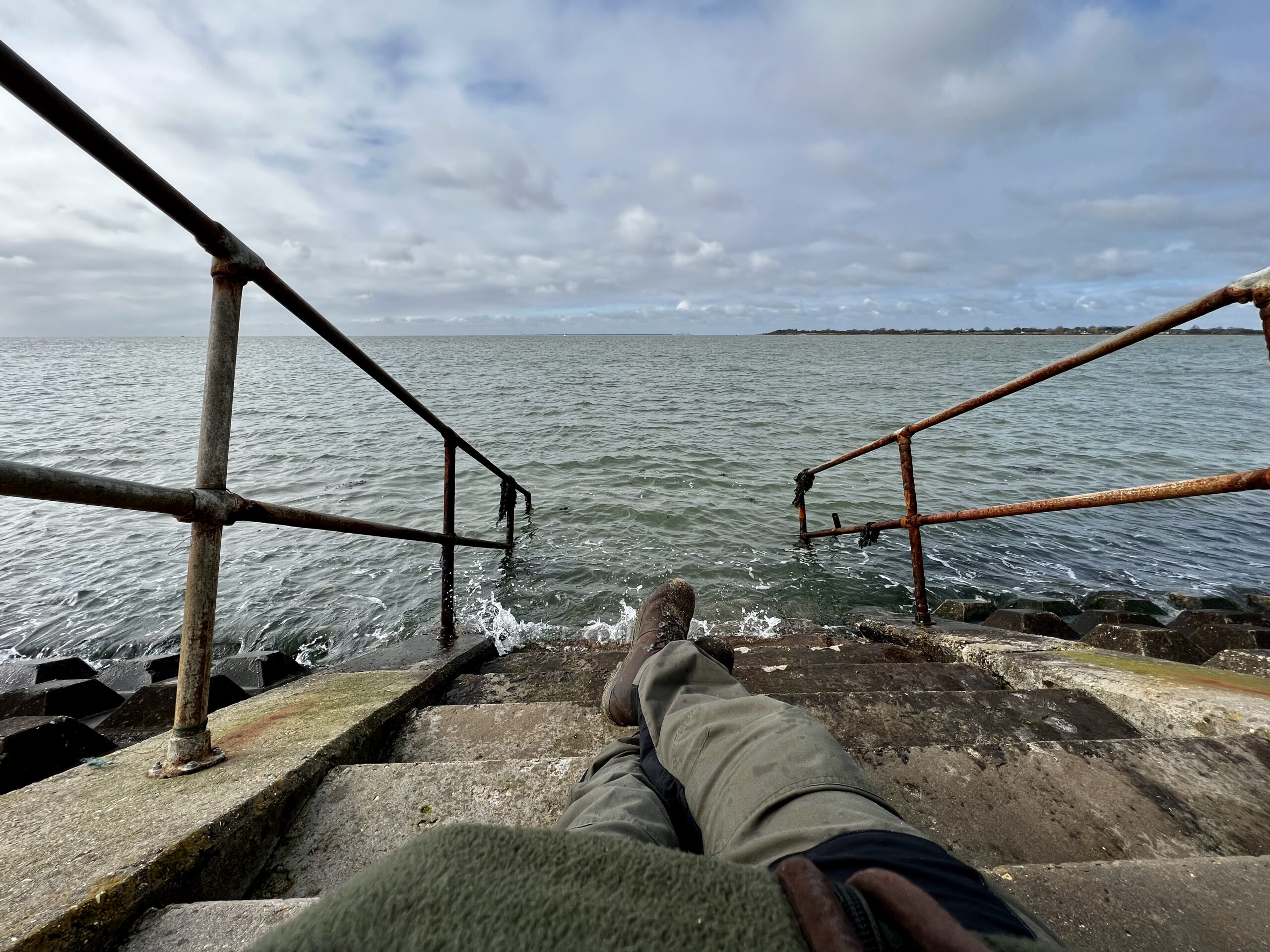
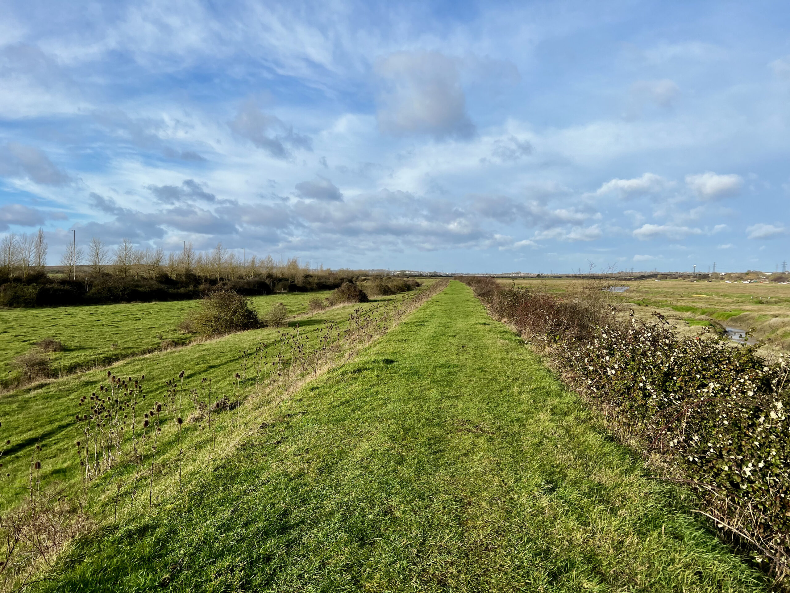
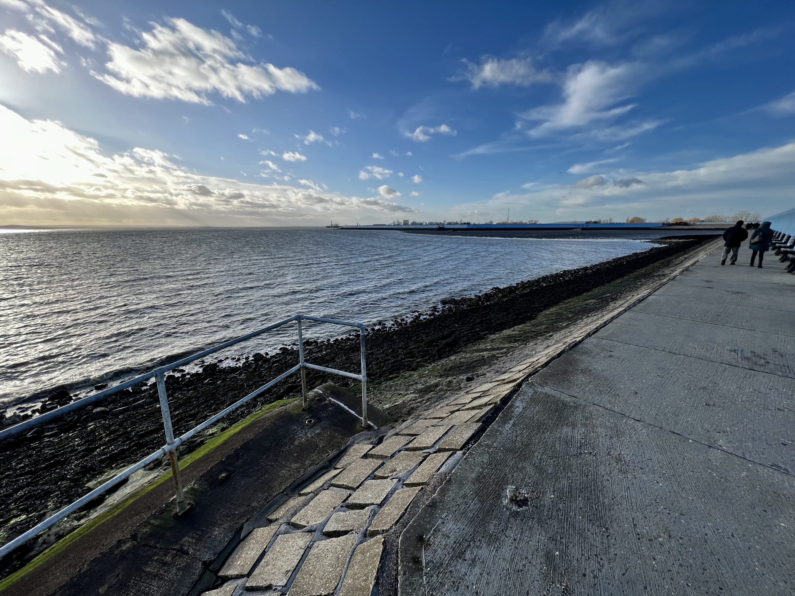
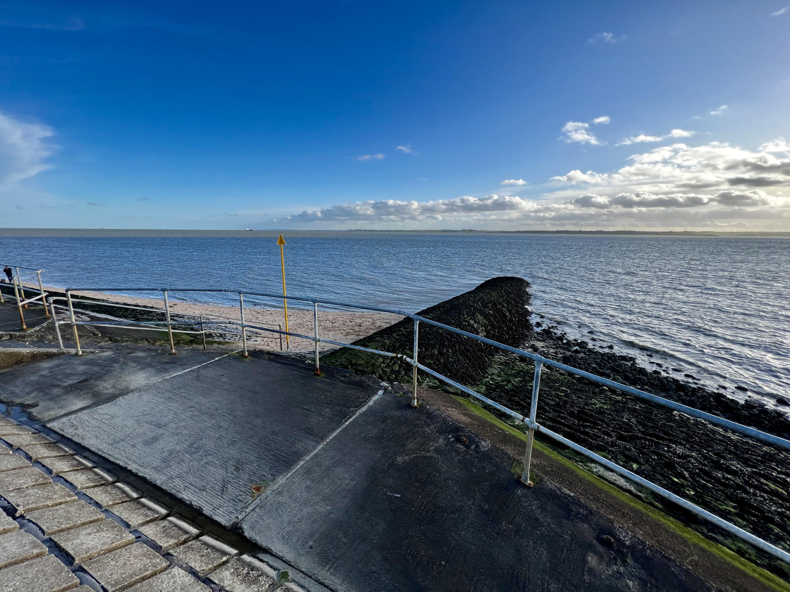
Just after first light I climbed the steep sea defence a short distance from the arcades and headed up and over the sea wall to Concord Beach. This was my starting point and from here I was going to walk in an anti-clockwise direction around the Island, so of I marched along the bottom of the brightly coloured sea wall. My frost way point was a corner in the wall called The Point, aptly named as they was a groin running out into the estuary like a pointing finger. On the top of the sea defence there is an information board about the collision of two B-17 planes in 1944 causing one to crash into the sea with the loss of everyone on board except one man. I may well write a more in-depth article about this horrific crash one day but for now its back to trek. Following the path towards Canvey yacht club I soon was walking on top of the sea defence and along Smallgains Creek heading away from the mighty Thames and deeper into the island itself. I had to walk along one side of the creek and along the other side before I rounded the marshland which runs along Benfleet Creek which actually makes Canvey an Island. Following the pathway I walked the creek side until just before I had to cross the road, one of only two roads that allow access to the island, which leads you to Benfleet train station and decided to have a sit down and brew a hot coffee as the wind was fairly strong and had a nasty bite to it. At this point I had walked just over 5 miles.
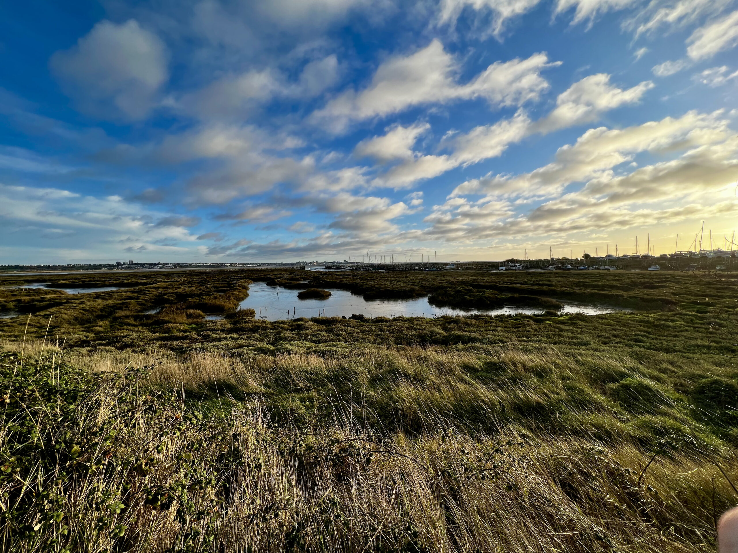
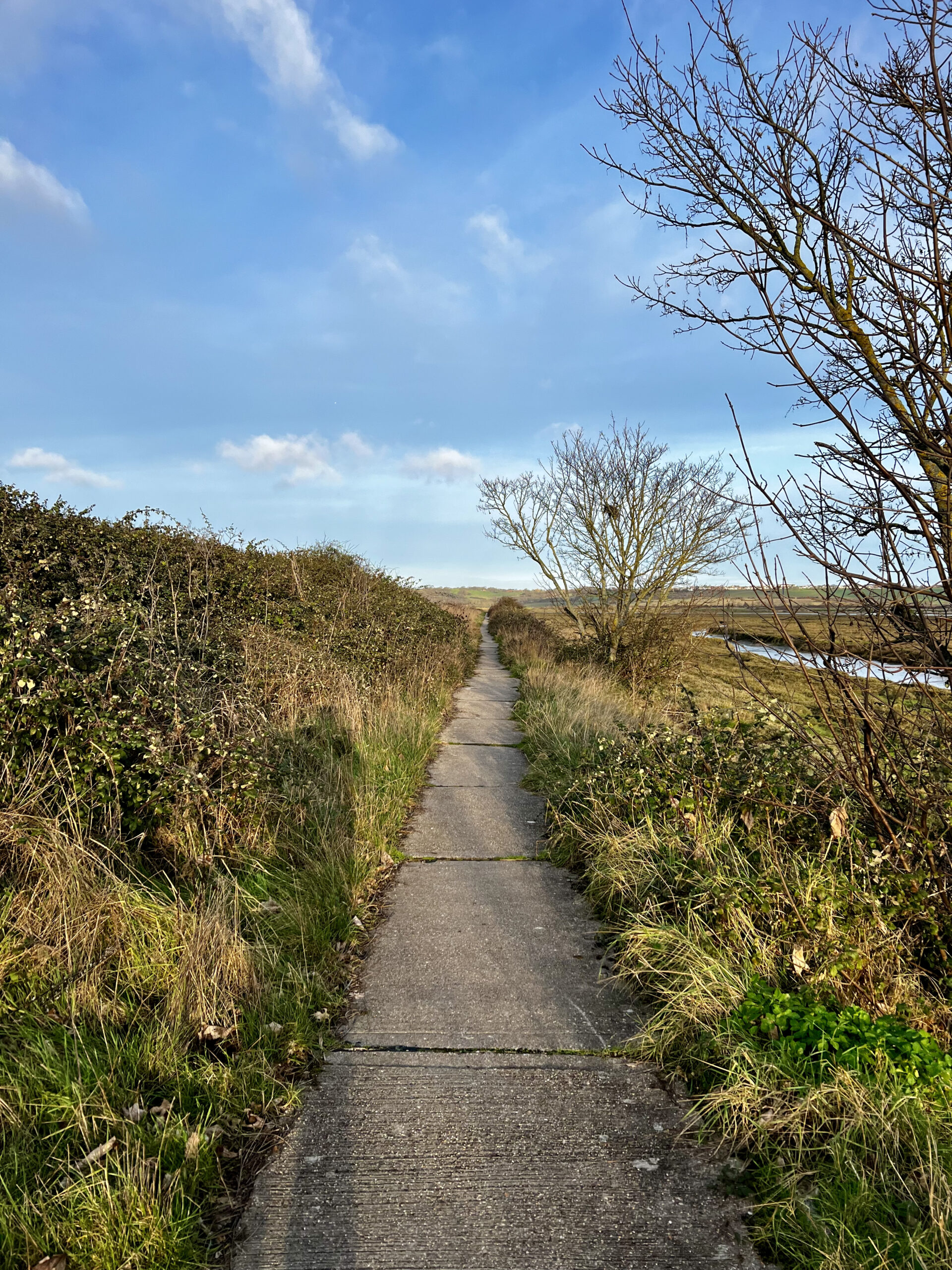
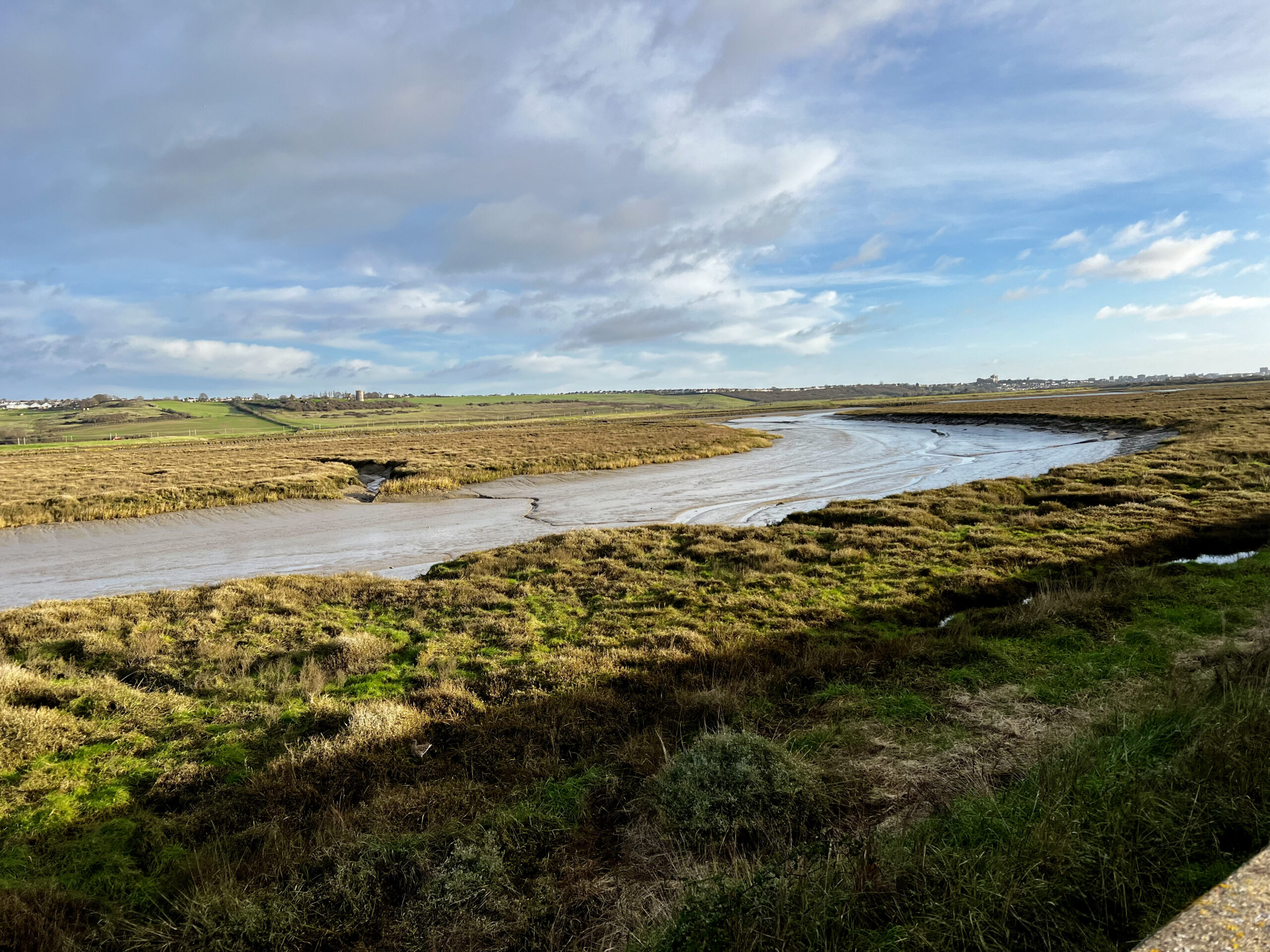
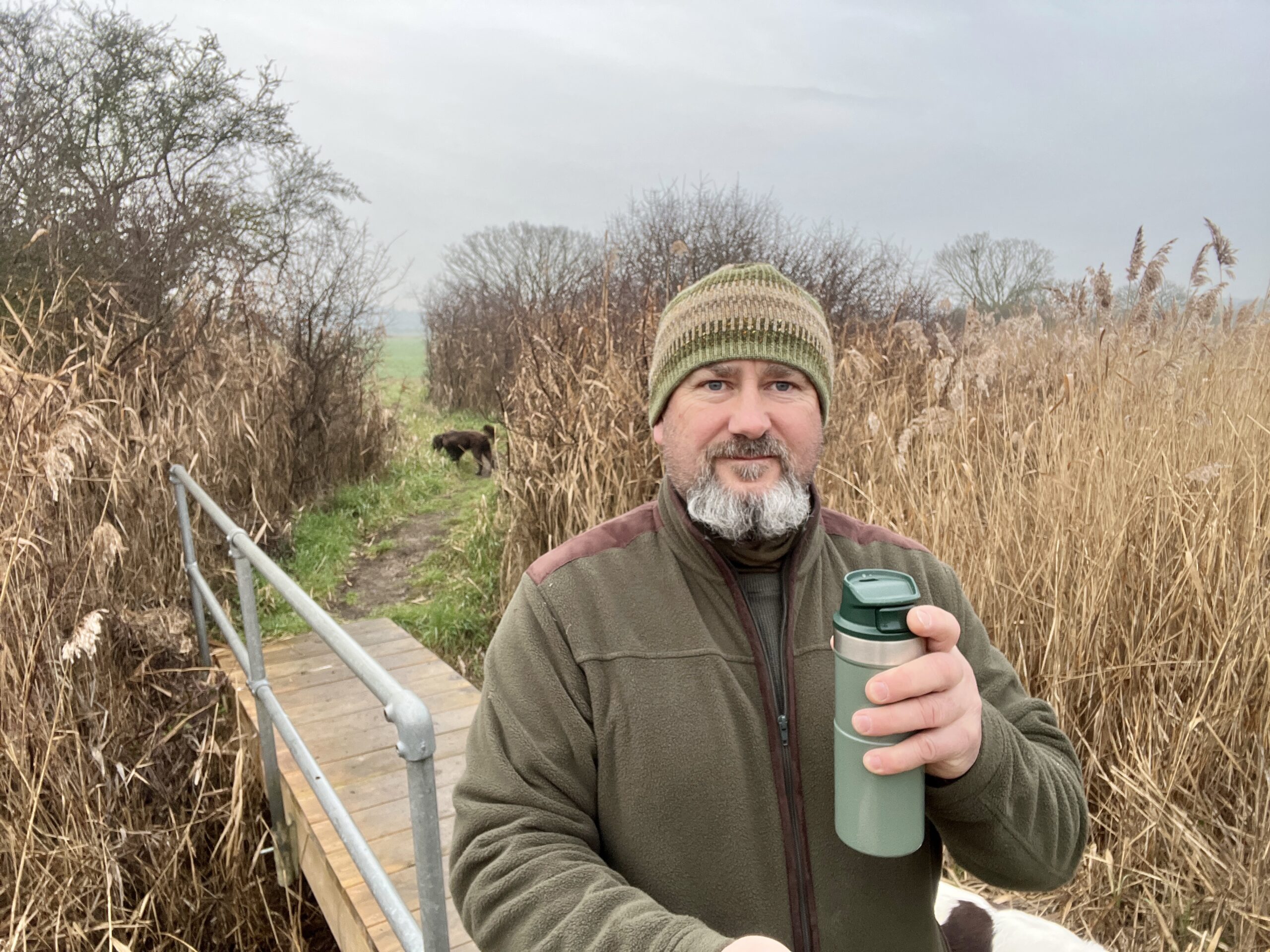
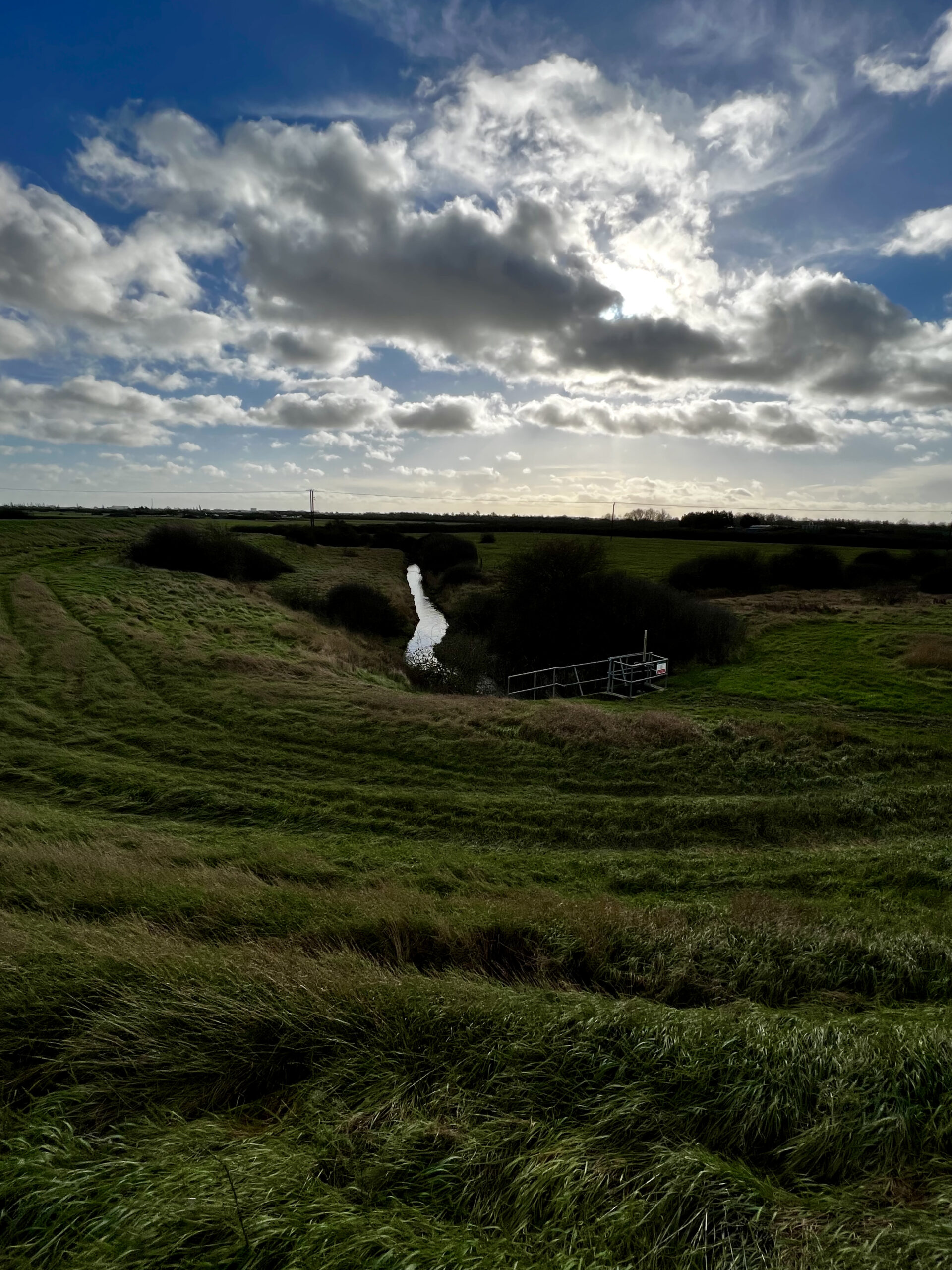
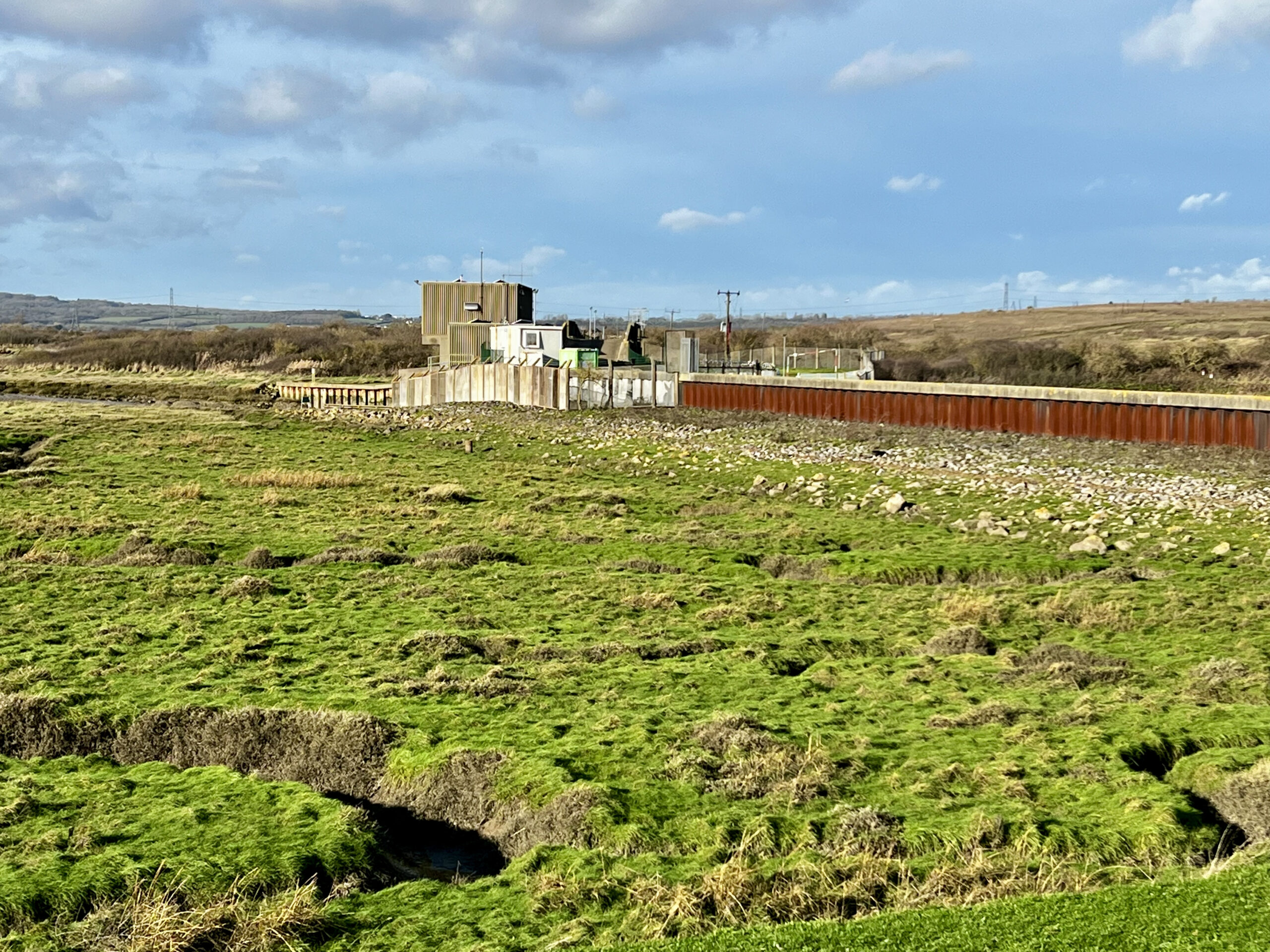
Once my I had drunk my coffee and scoffed down a manky petrol station sandwich I pulled my rucksack back on and continued on my way crossing over the busy road and setting off across a field on the other side. It was this stretch of the walk that I was looking forward to most as it took you away from the hustle and bustle of the main island and out along the banks of Benfleet Creek which skirts an RSPB site. Soon I had passed beneath the busy Remembrance Way, the other route on and off the island, and the hum of the traffic was slowly drifting away to just leave the sounds of a small saltwater creek and its inhabitants. There was only a dribble of water running through most of the creek as the tide was only just turning, but I did see a couple of Egrets standing on the opposite side of the creek and also a few ducks passed overhead at one point. In fact it was pretty quiet on the wildfowl front, I really thought that I would of seen more ducks and waders but not this time. Before long I had come to Benfleet Creeks huge flood gates and beyond that was Vange Creek which soon gave way to Holehaven Creek. I sat on the concrete wall which lead to the flood gates and had a wee break before setting of on my way again.
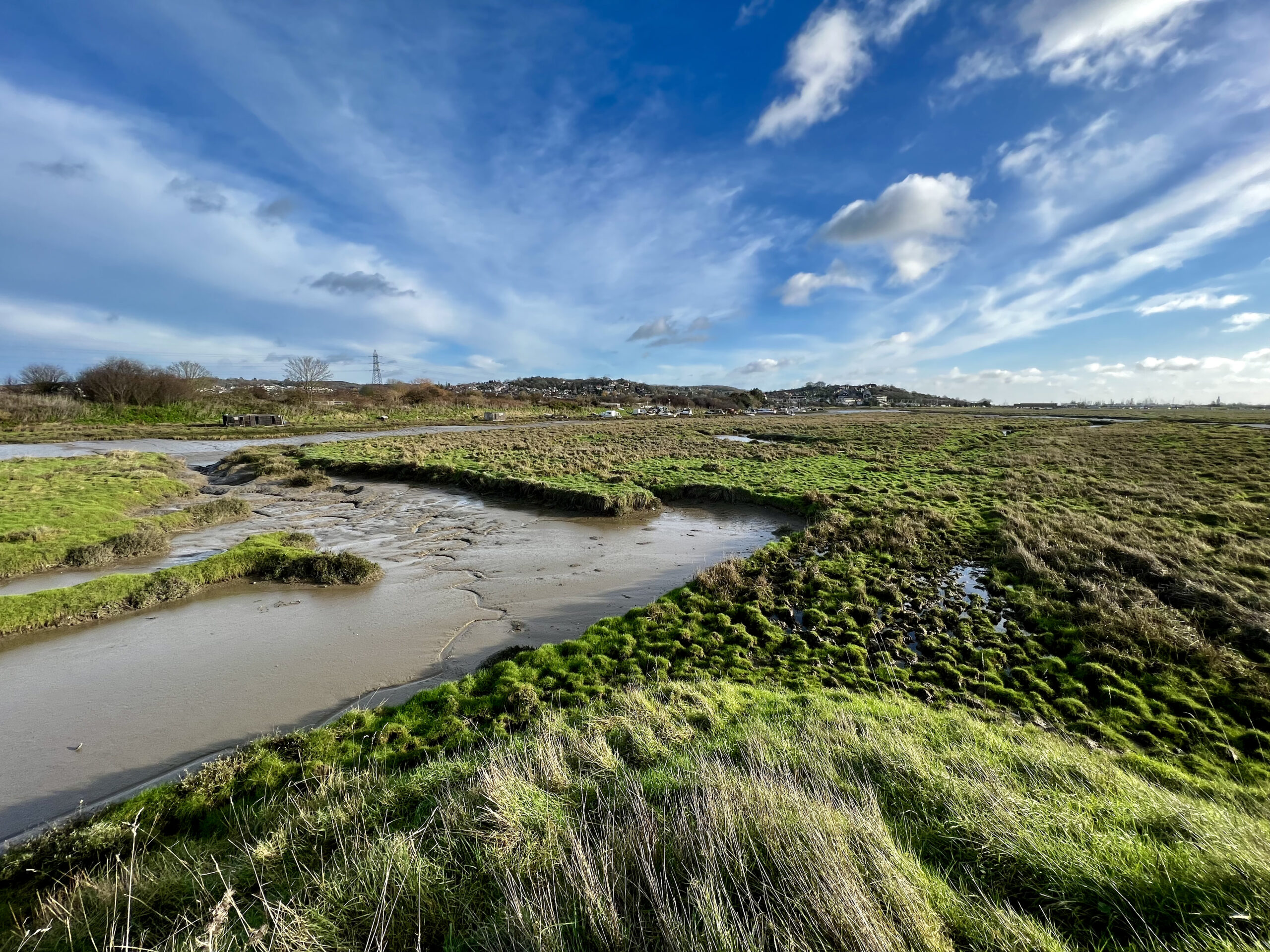
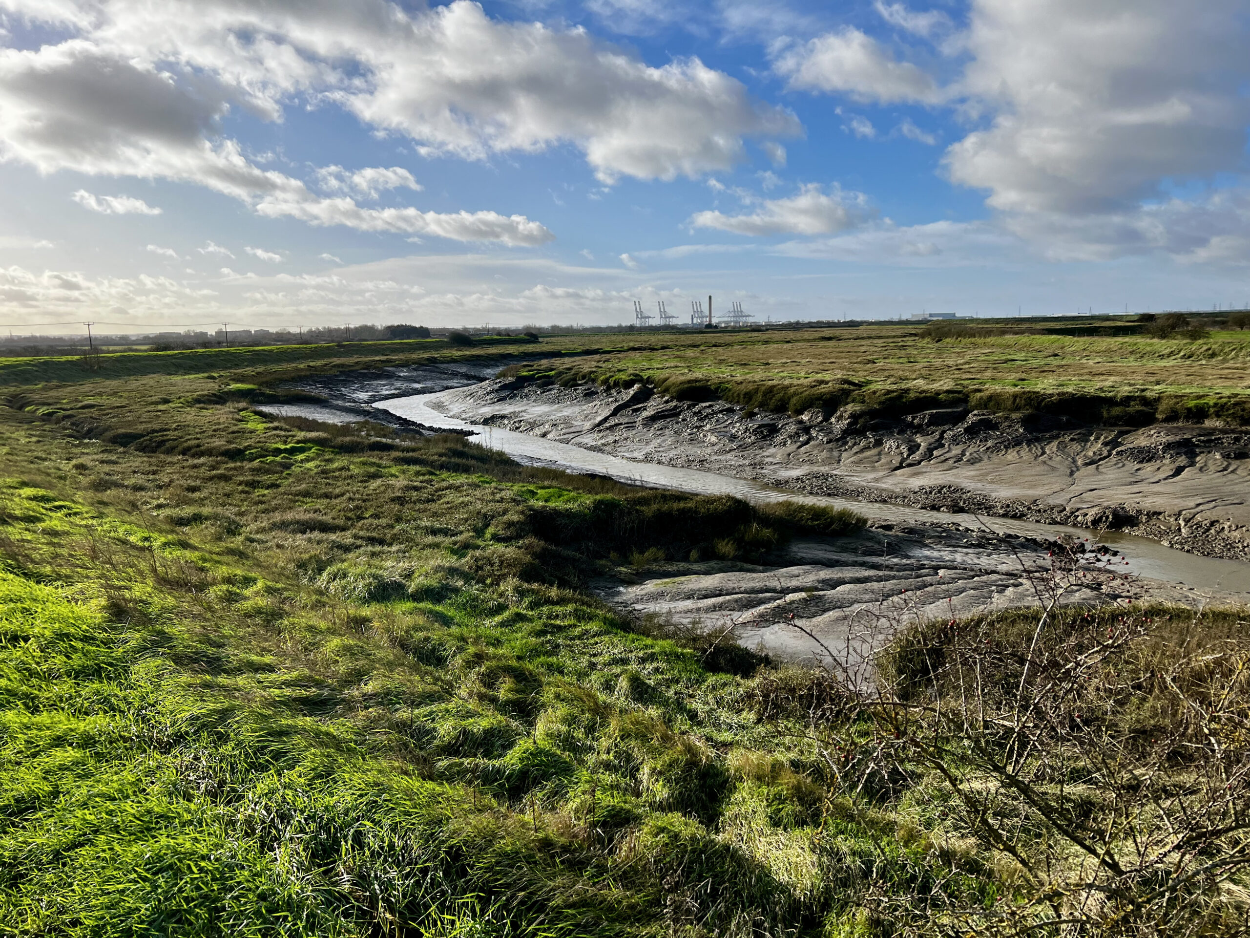
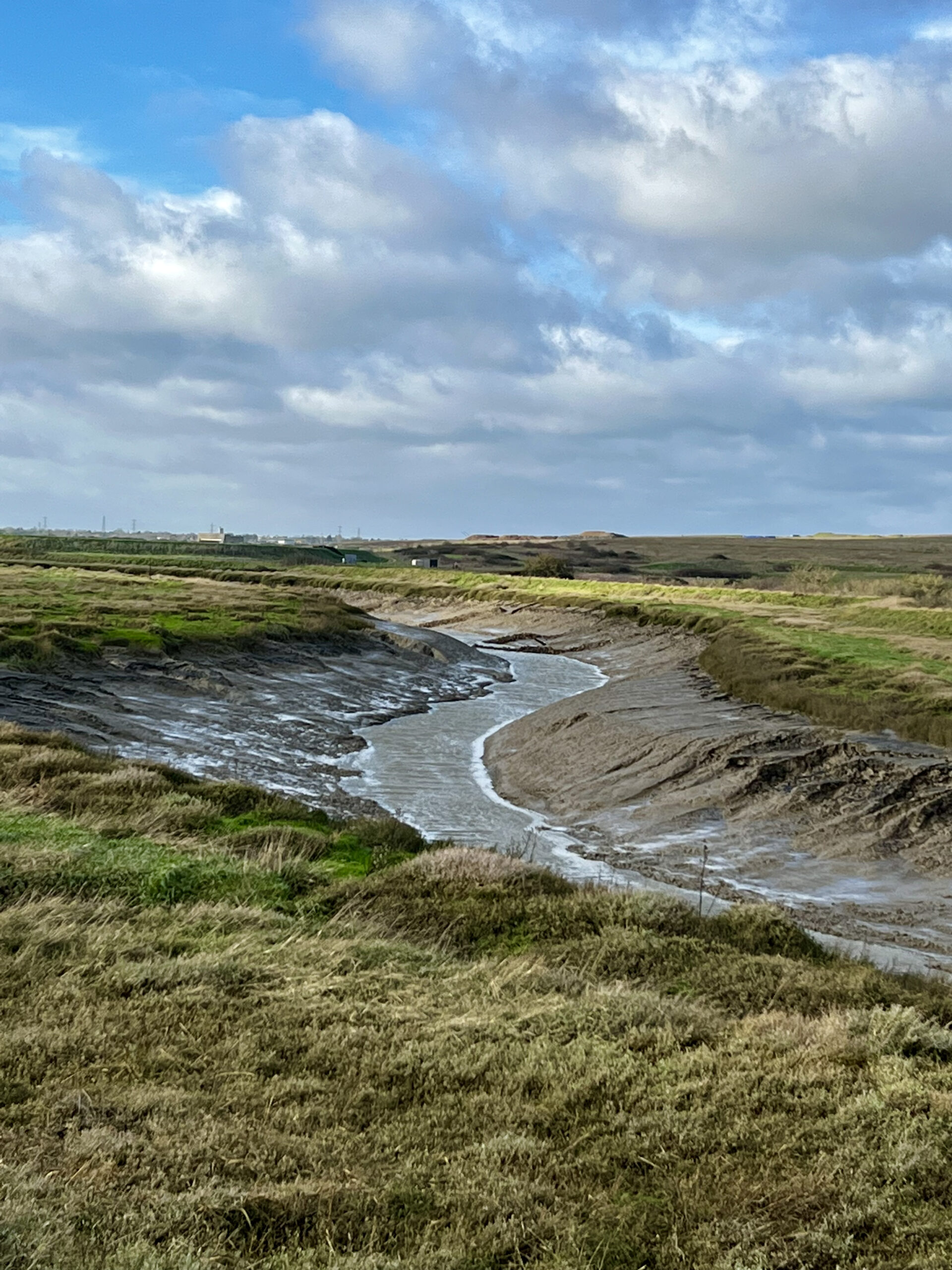
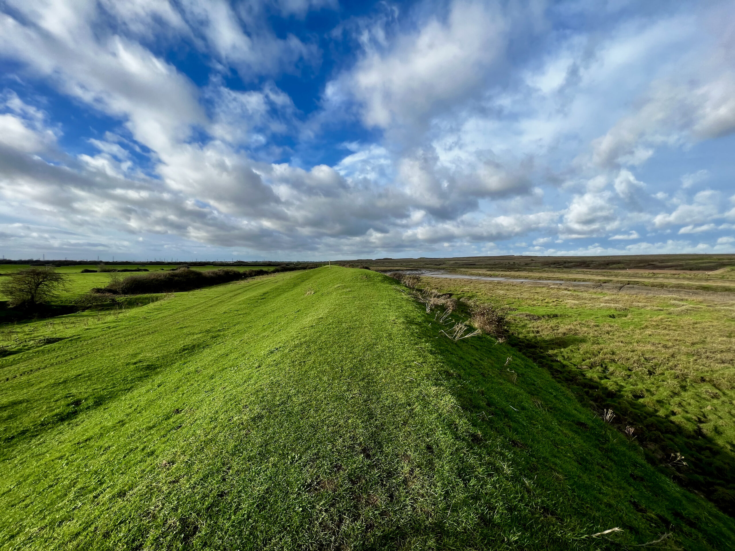
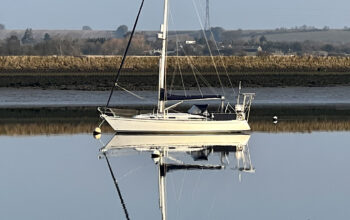
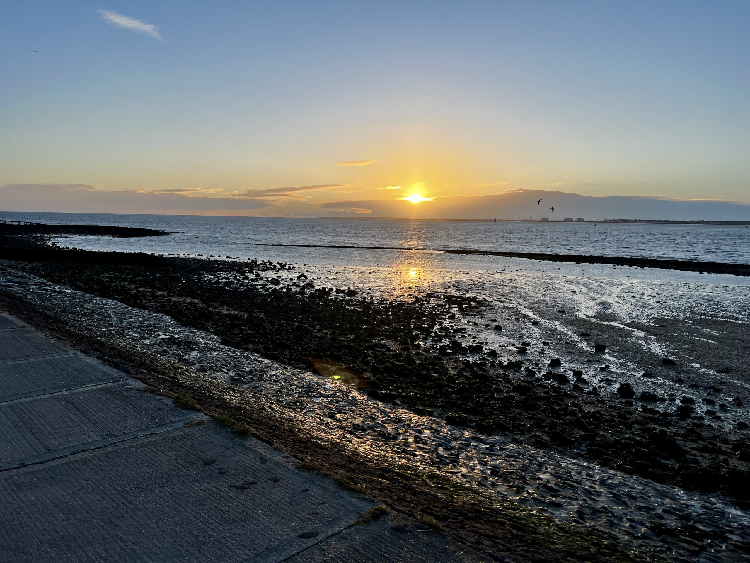
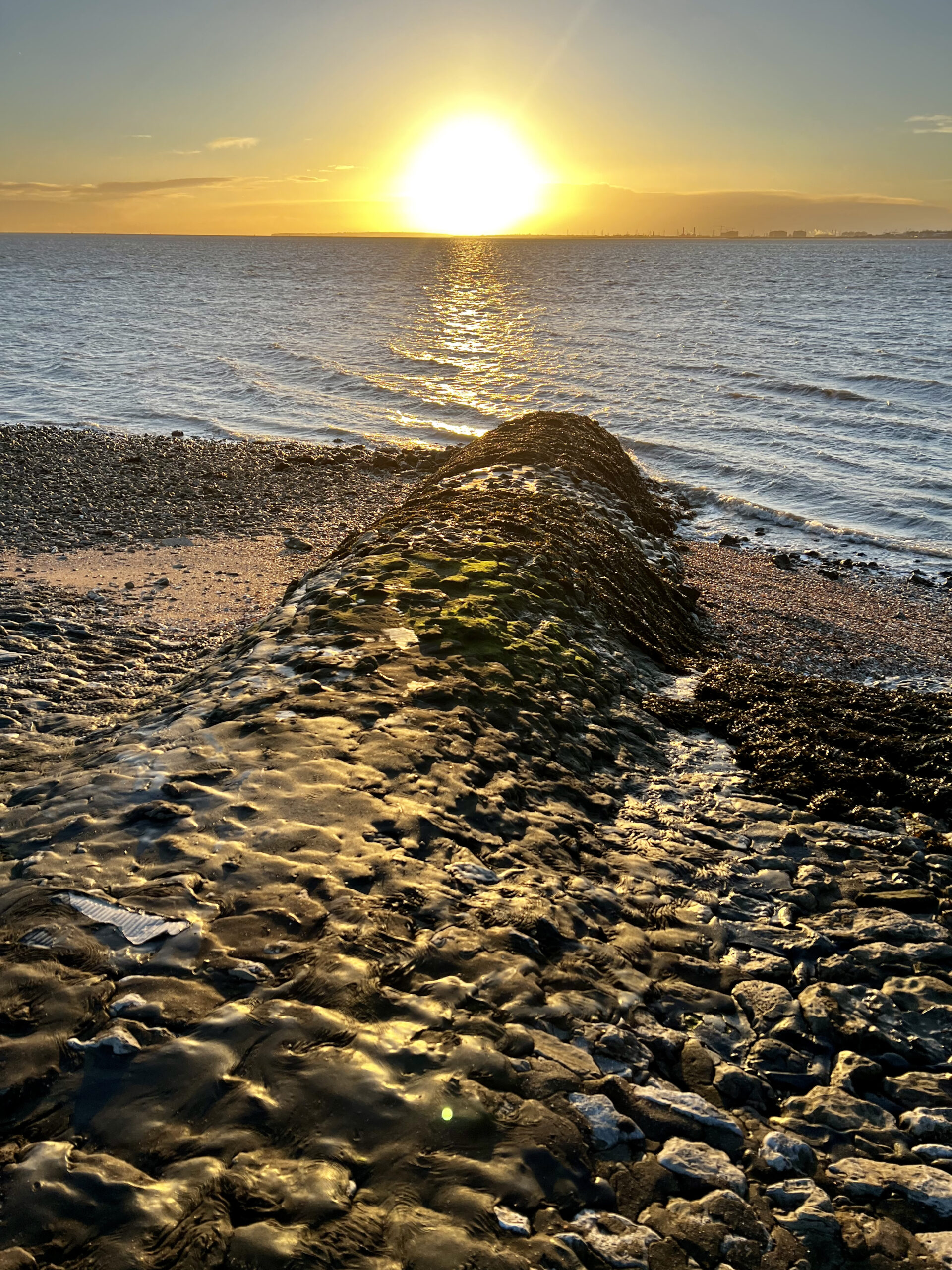
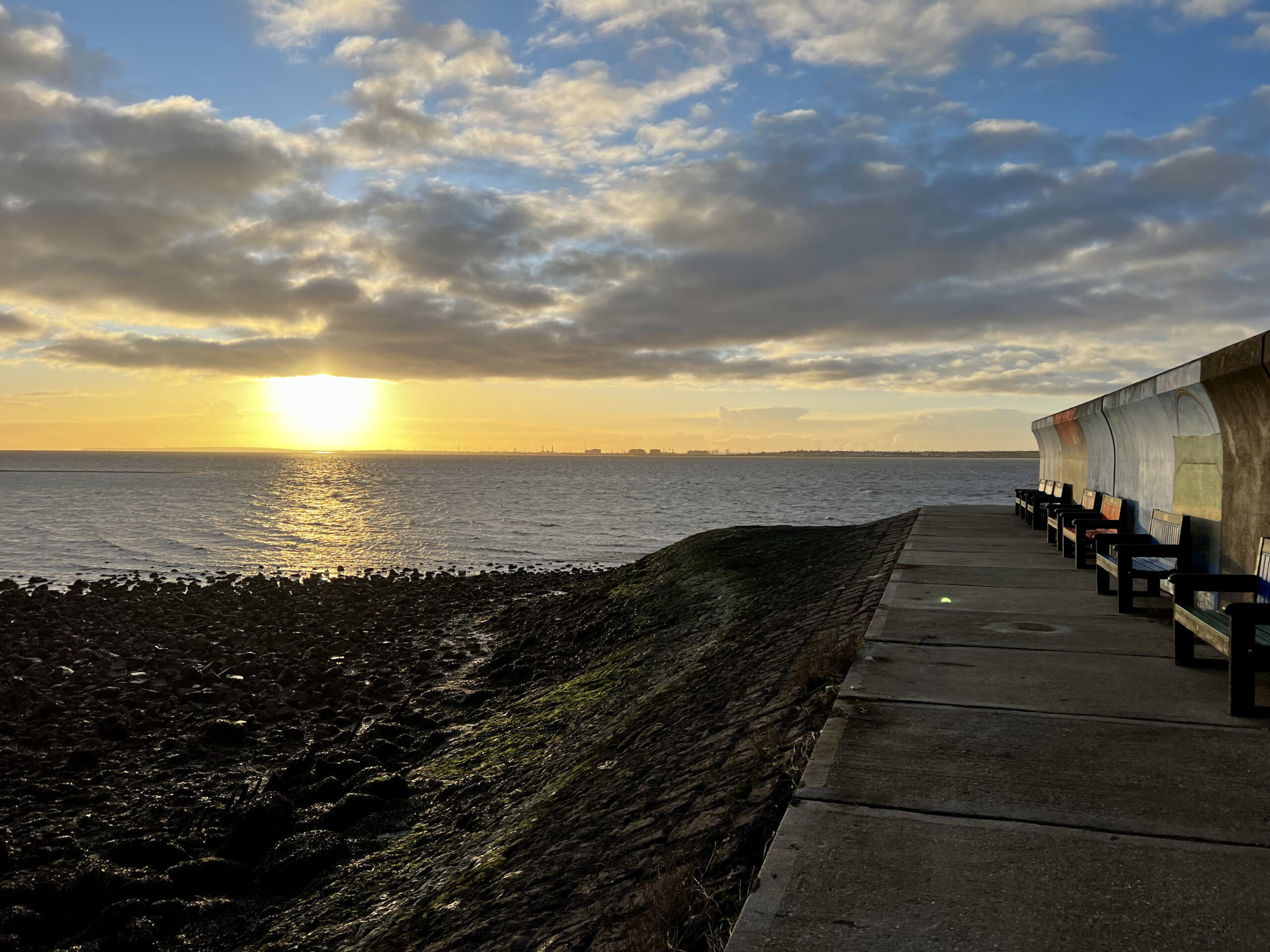
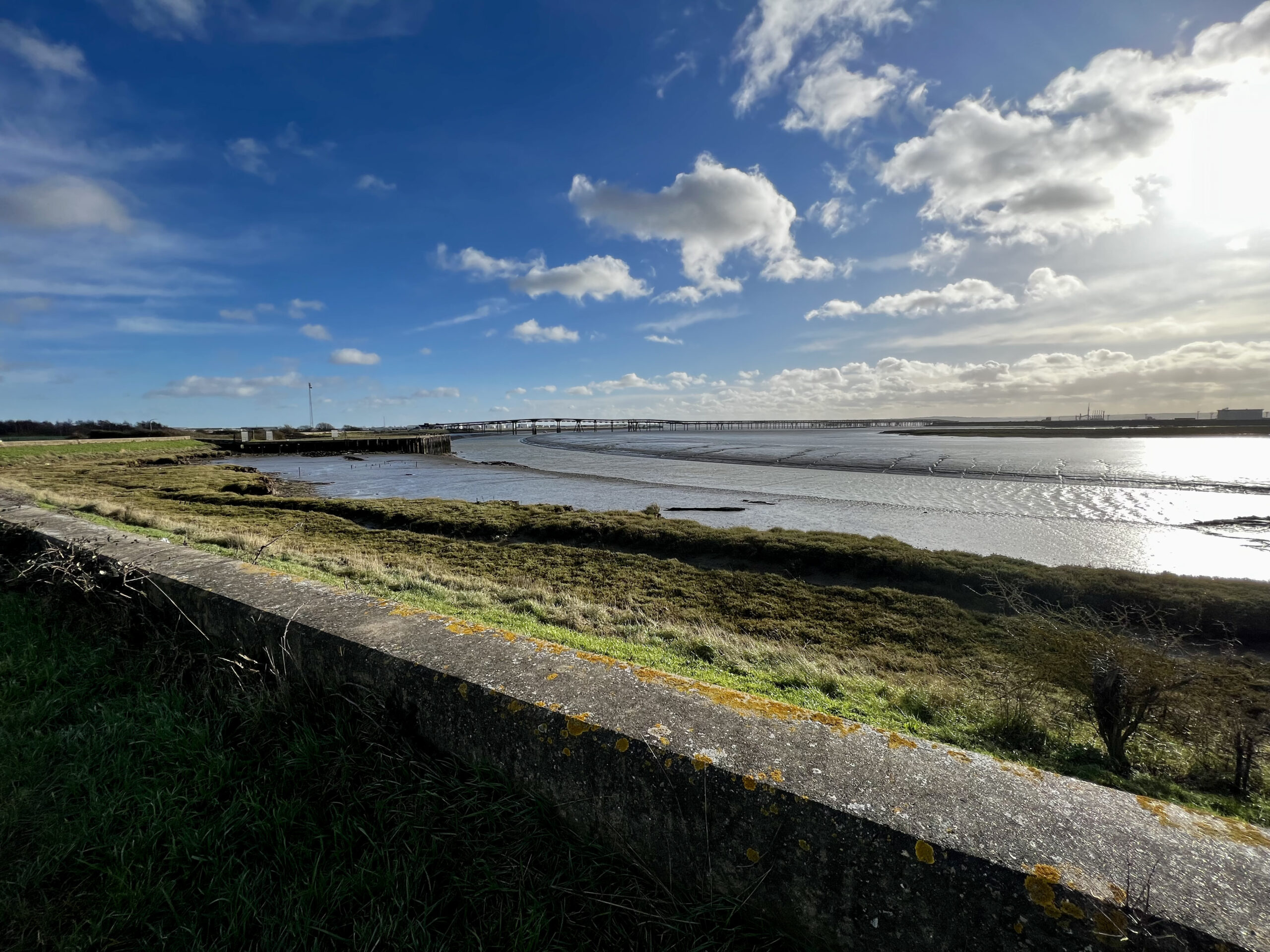
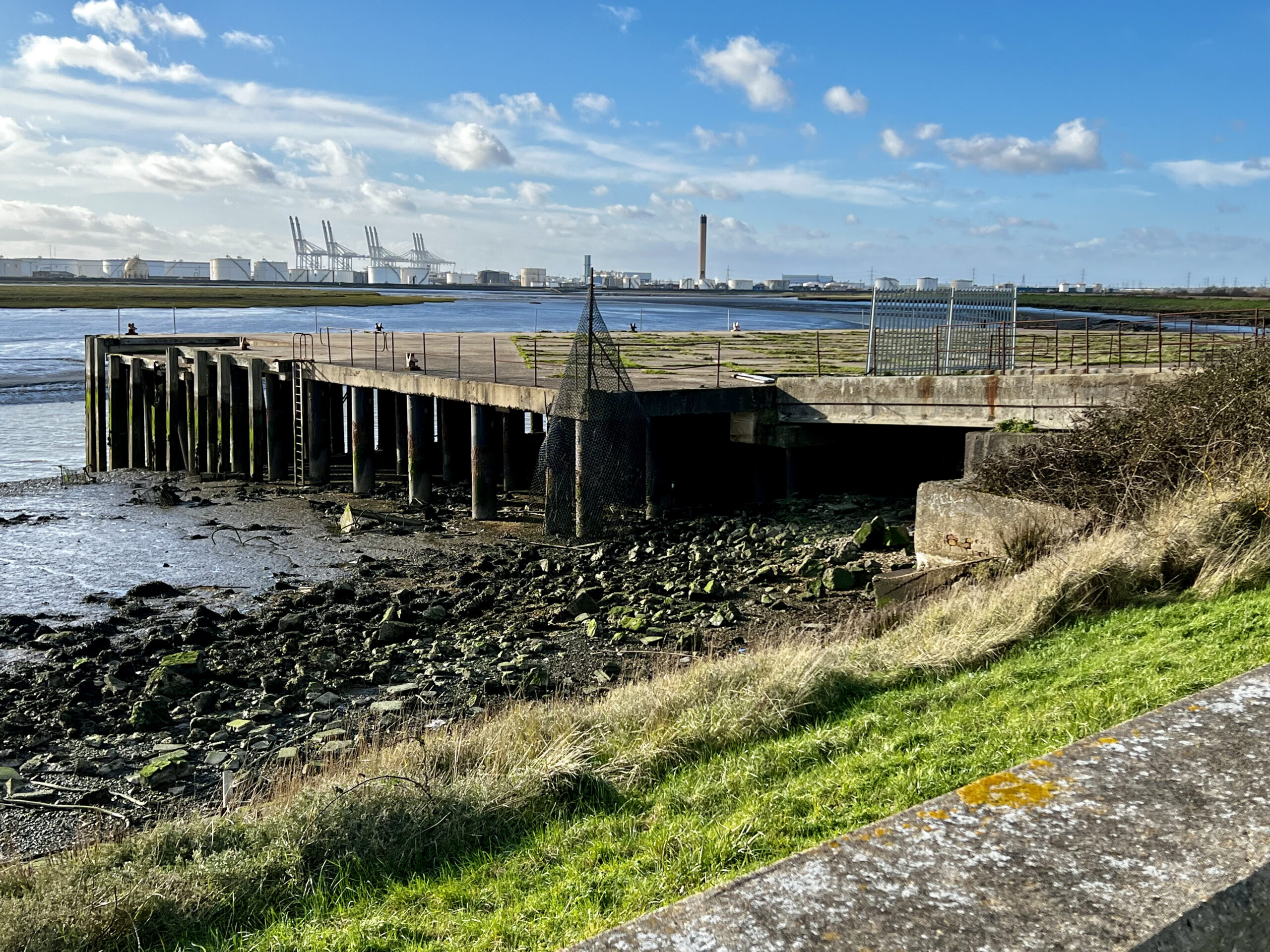
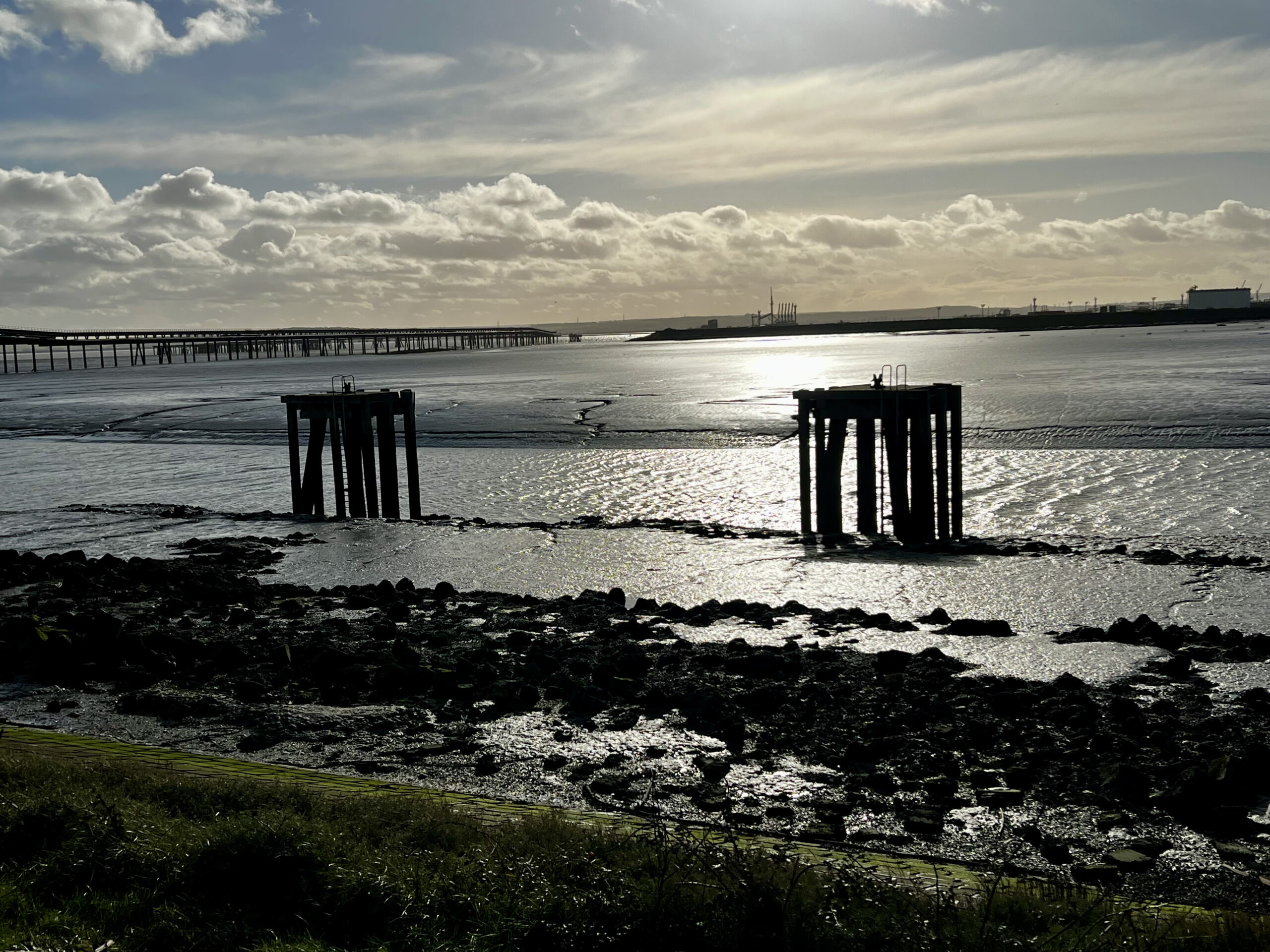
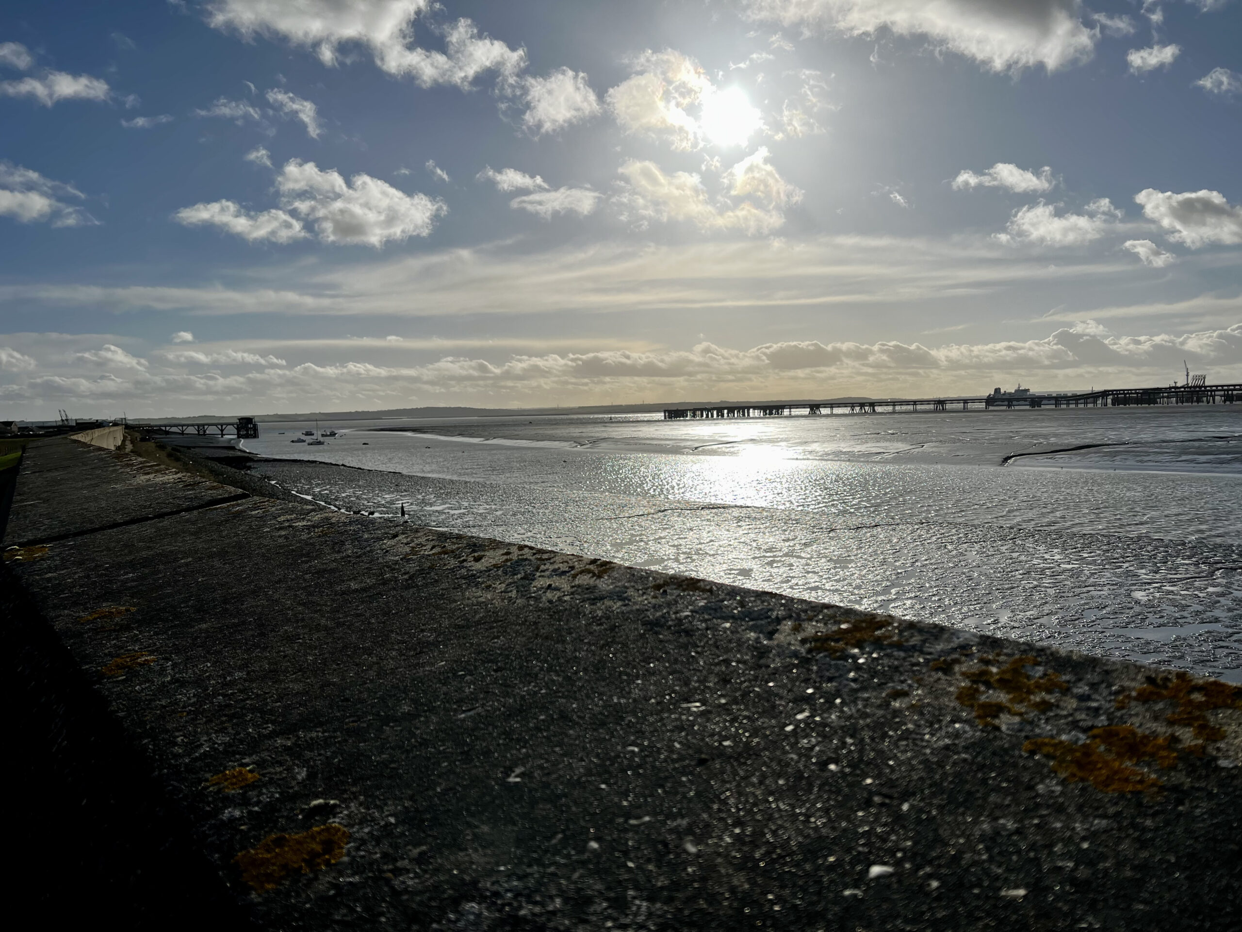
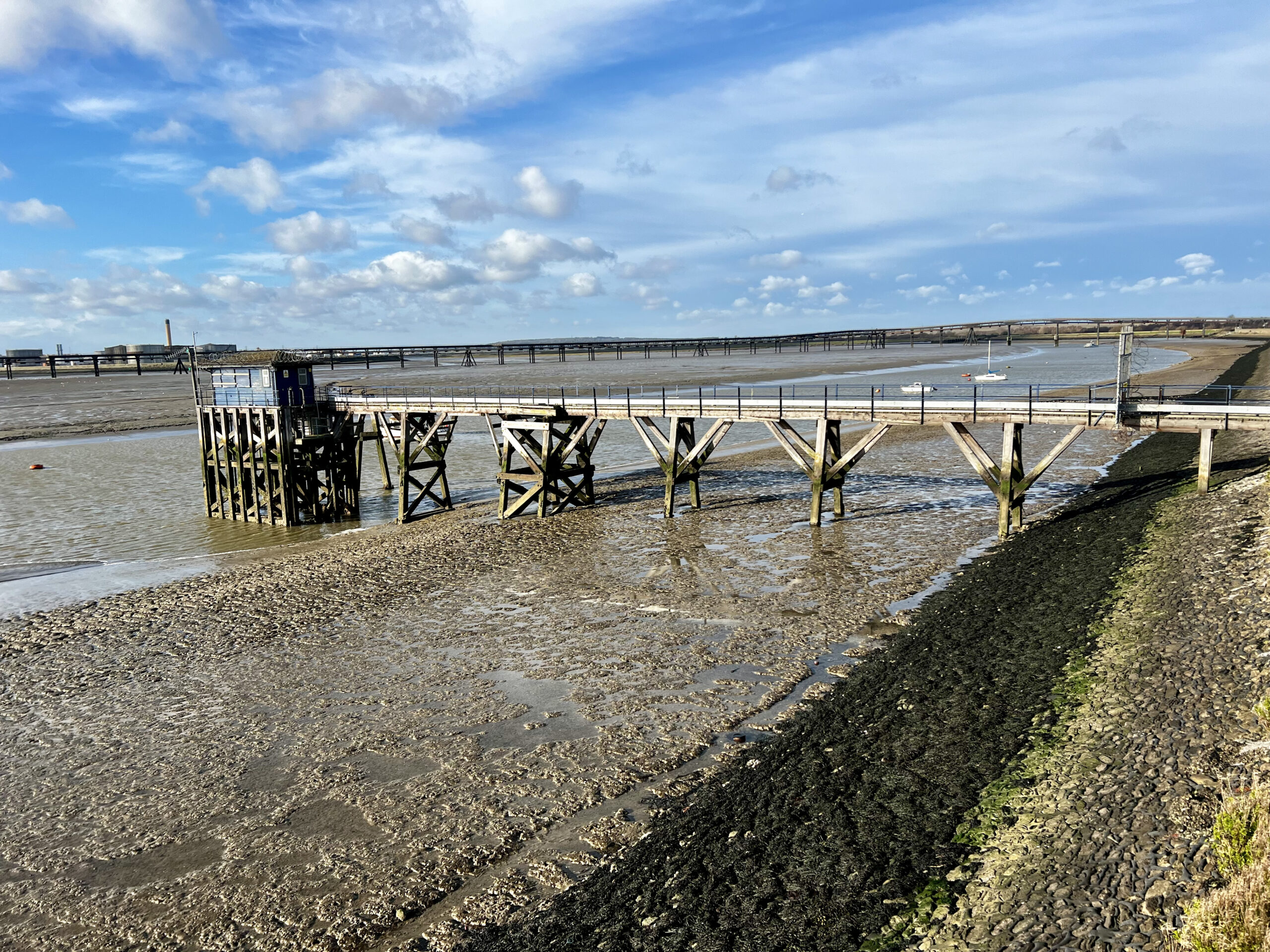
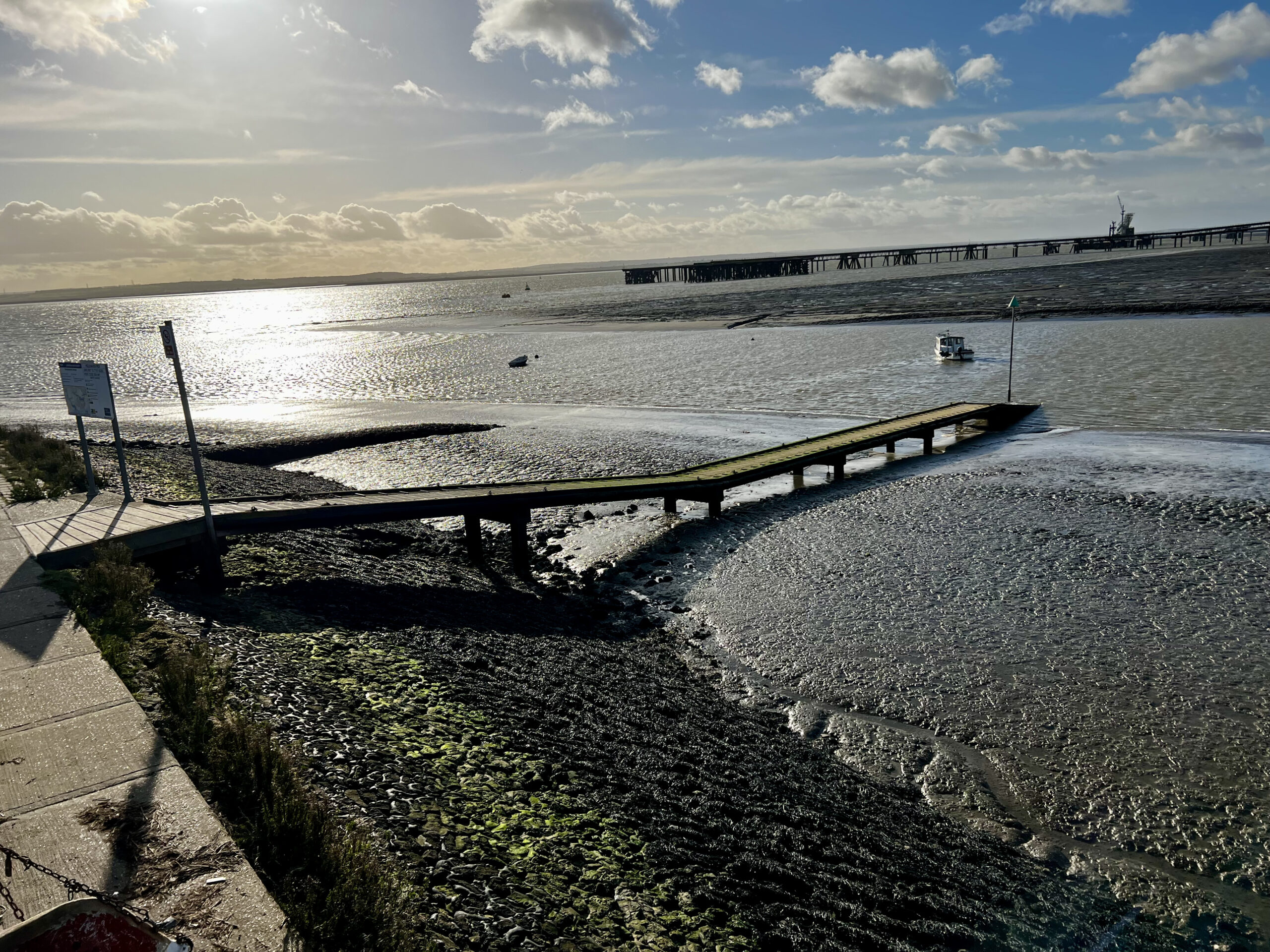
The next part of my journey was along Holehaven Creek, which was my favourite part of the entire walk, as there was some old ruins of landing platforms from old, which I like to explore, and was also another part of the island that I had not visited before. As you walk further along this stretch you can see the Port of London looking on the opposite side of the creek and also the oil refinery jetties start to become more prominent. For those who do not know, Canvey Island used to store large quantities of liquids in huge great silos but it is not as busy as it used to be now, but the old pipeline jetties and mooring jetties still poke out into the estuary waters. Passing the old jetties I soon came to the ‘ famous’ Lobster Smack Inn, an old haunt of seamen and smugglers back in the day but now a rather nice eatery nestled in a rather industrial area. The smell of roast beef and trimmings that was emanating from the inn was gorgeous so I stopped and made another coffee and ate a Grot Poodle on one of their handily placed bench tables, not the same as a nice roast dinner but it had to do.
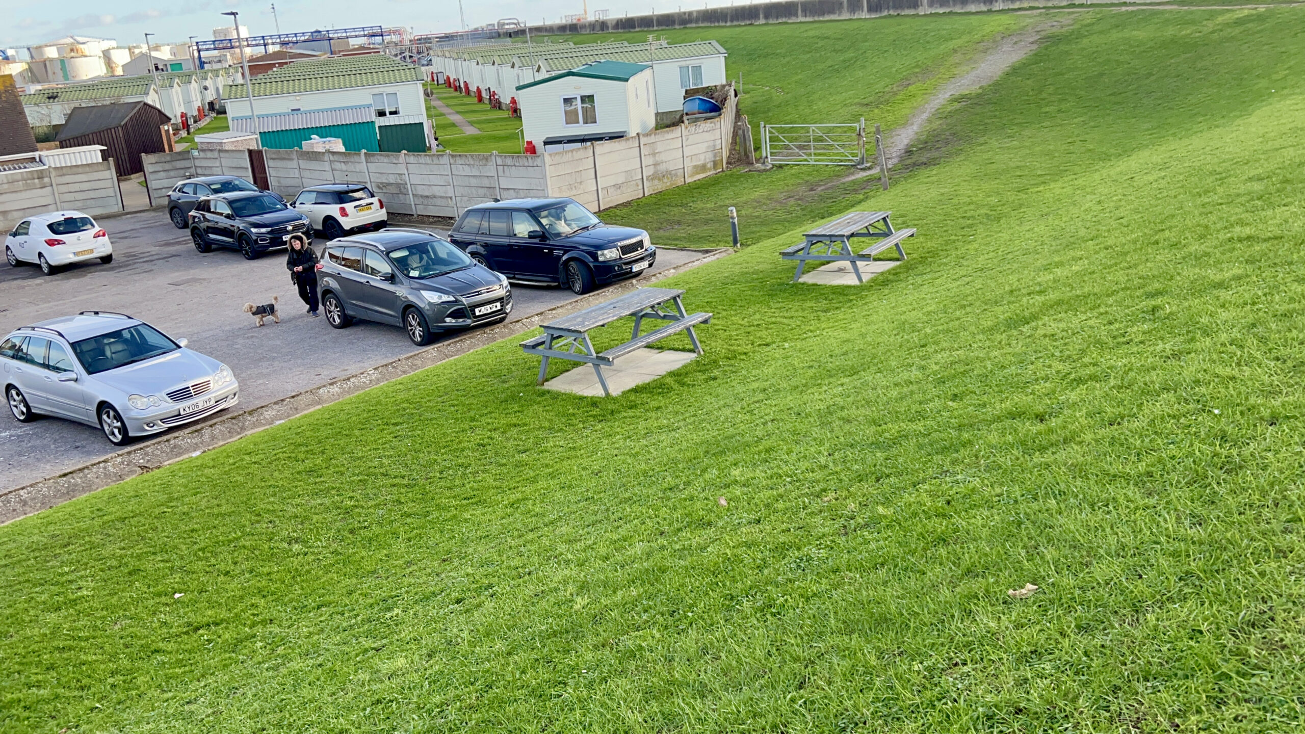
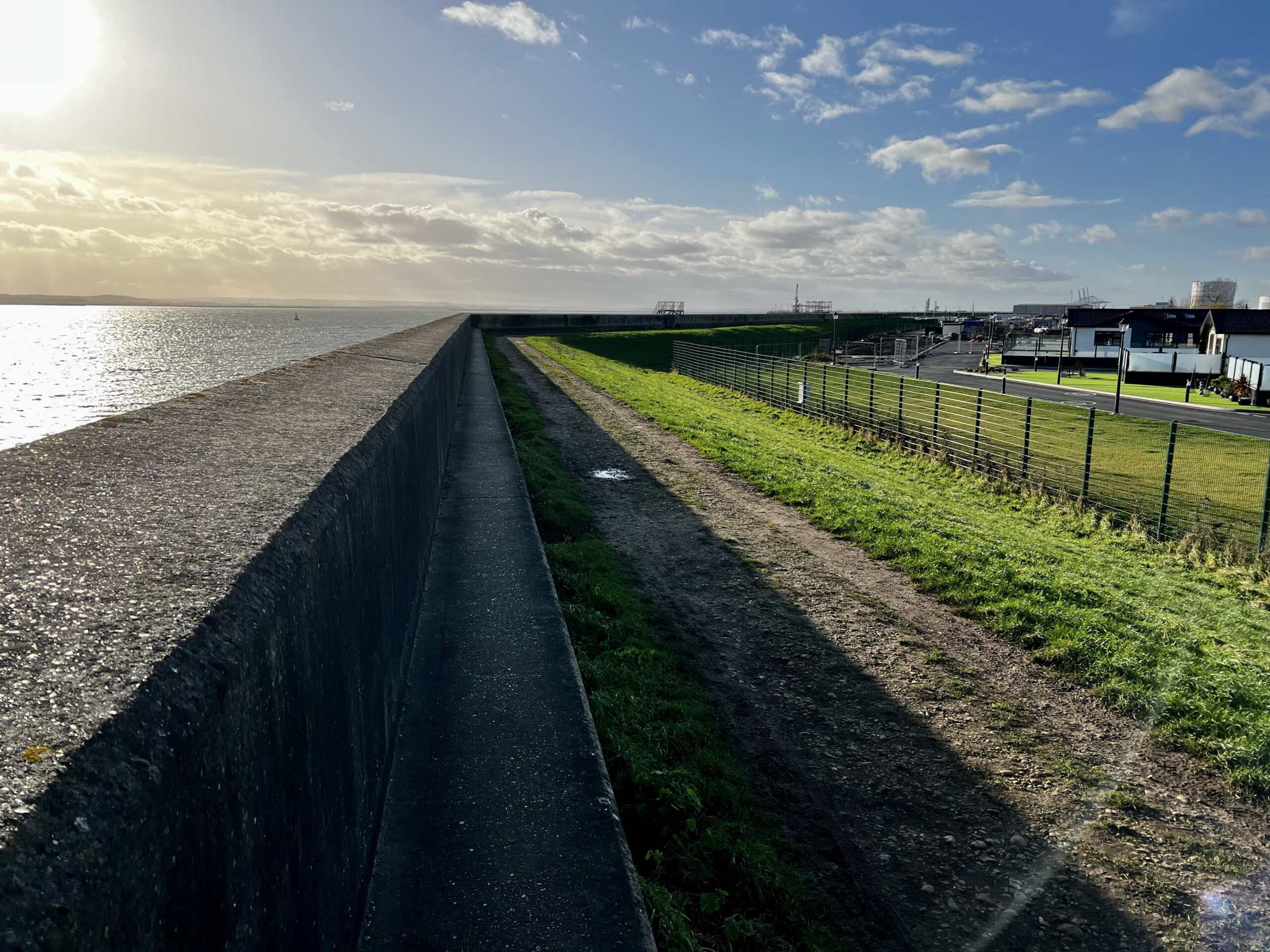
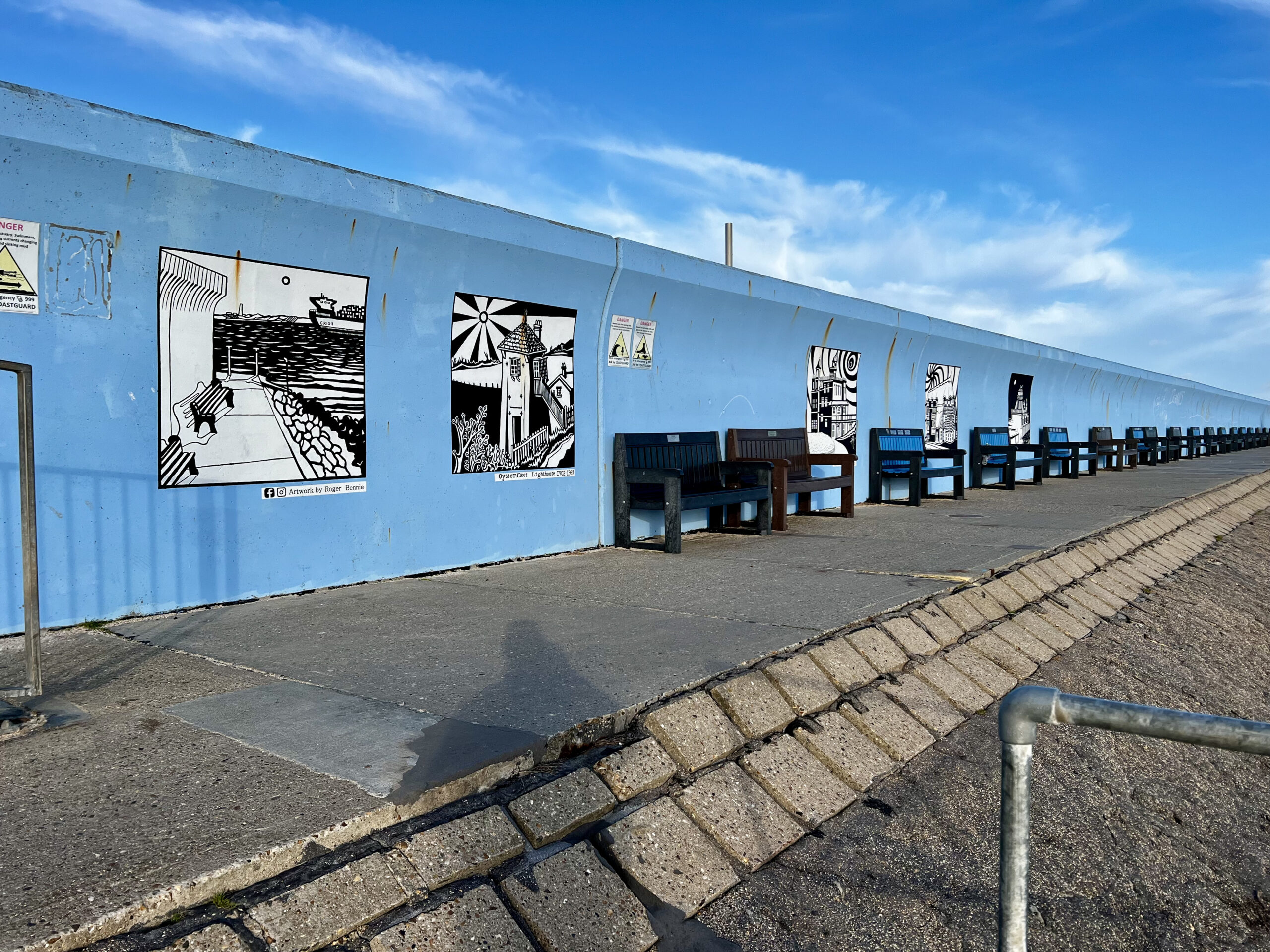
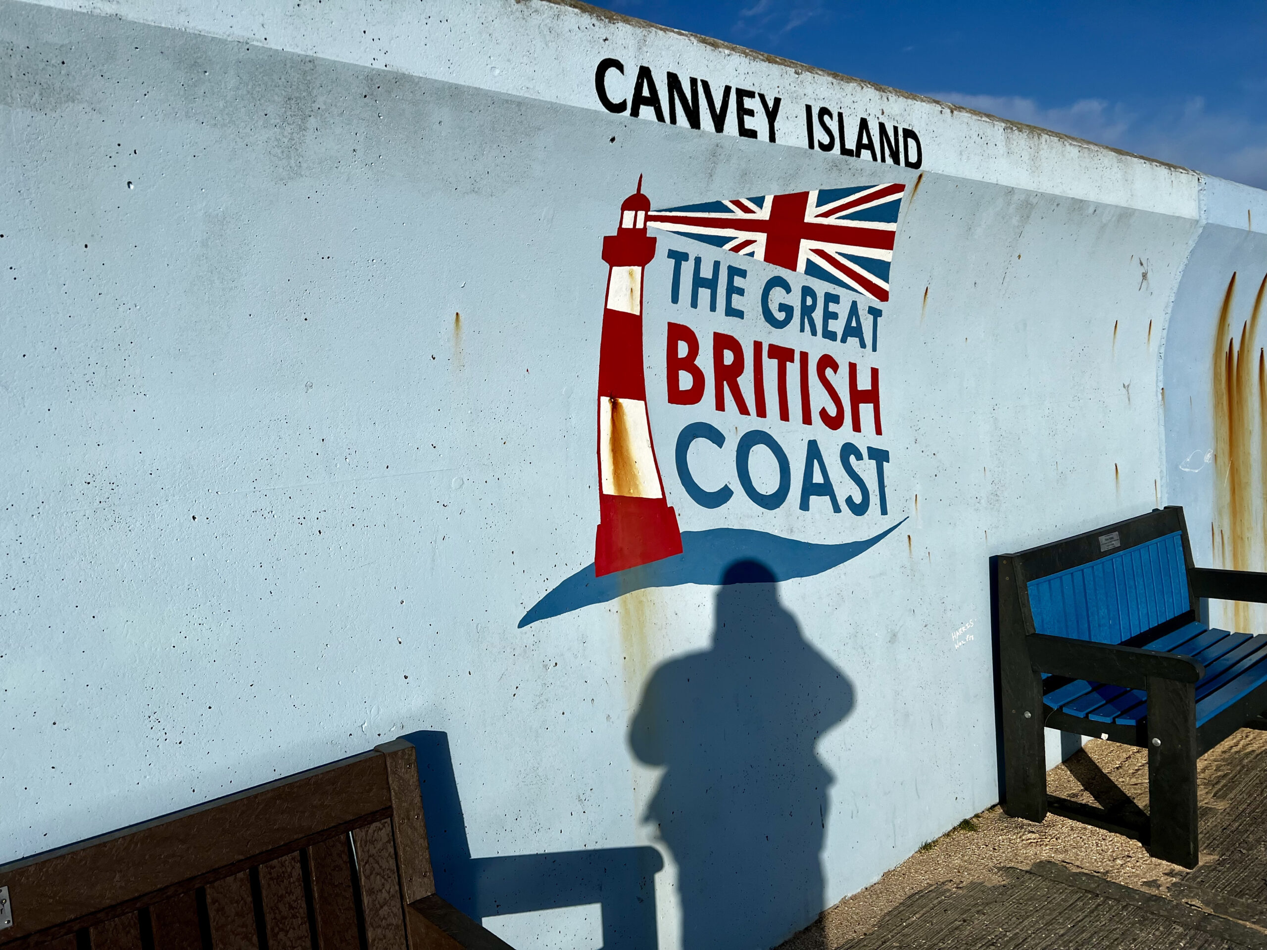
After my short break I was back up the sea defence slope and of along the seawall pathway heading back towards civilisation, but not as quick as before because my legs were starting to feel the 11 miles I had just walked but I’m ‘Double Ard’ so I powered through the pain. I was soon passing beneath some of the pipework that carries the liquids from boat to storage silo and climbing steps up and over others along the way. Before long I had passed the industrial side of the island and was now walking behind the large ‘Thorney Bay Campsite’ once known for cheap holidays and now a huge posh looking static home residential park. It did look nice but it was not the same as when I used to fish along this stretch of sea wall during the winter with numerous members of my family, back then it was full of tired looking mobile homes/caravans not the clean and tidy homes that are there now. Passing there caravan park I opted to walk down the steps and onto the small beach area of Thorney Bay itself, it is only a small bay area but has a lovely stretch of sand from one side to the other as well as a nice groin ad some rocks for the kids to turn. Climbing up the steps on the opposite side I was now walking along the bottom of the sea wall along the nice concrete pathway that lead me to the outer corner, we used to call this spot ‘Cod Corner’ and I do not know why as i have never heard of any cod being caught from this spot, of the bay. By the way I should mention how lovely Thorney Bay is kept, in fact the whole stretch of seawall really, the wall itself is painted with numerous murals of various local events etc and there are plenty of benches to sit and watch the water as well as lots of large palms planted in big pots which give it a nice look.
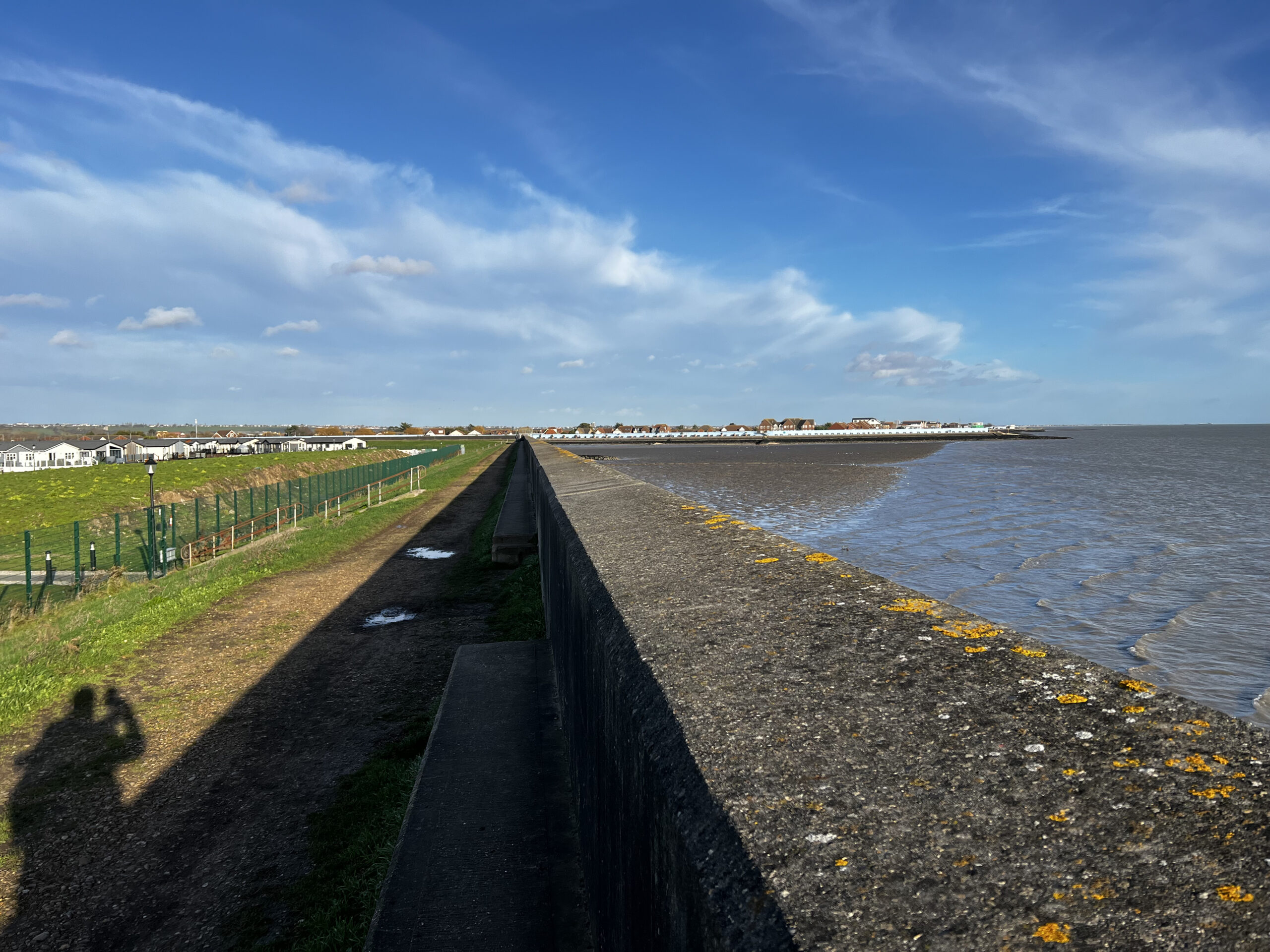
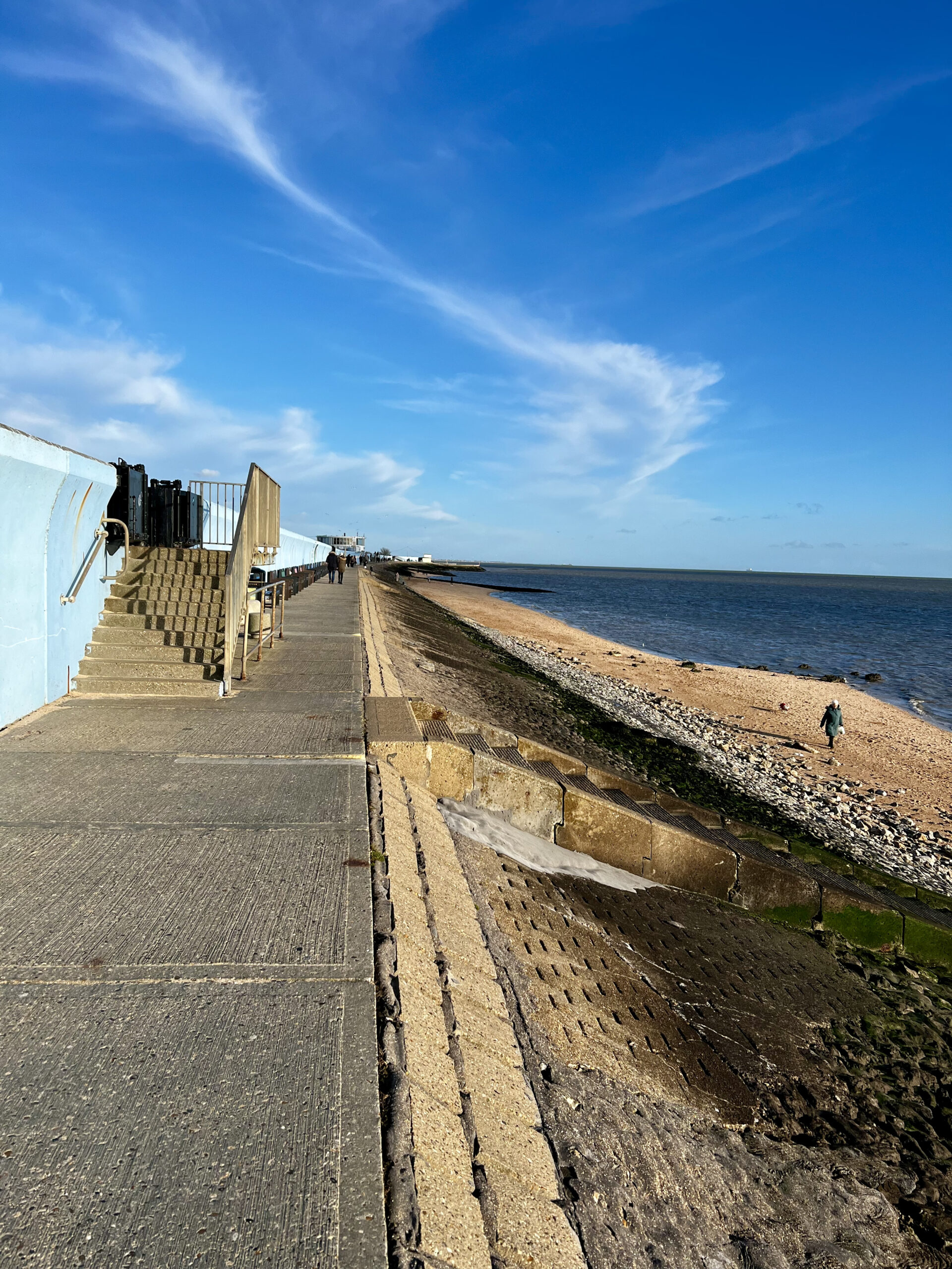
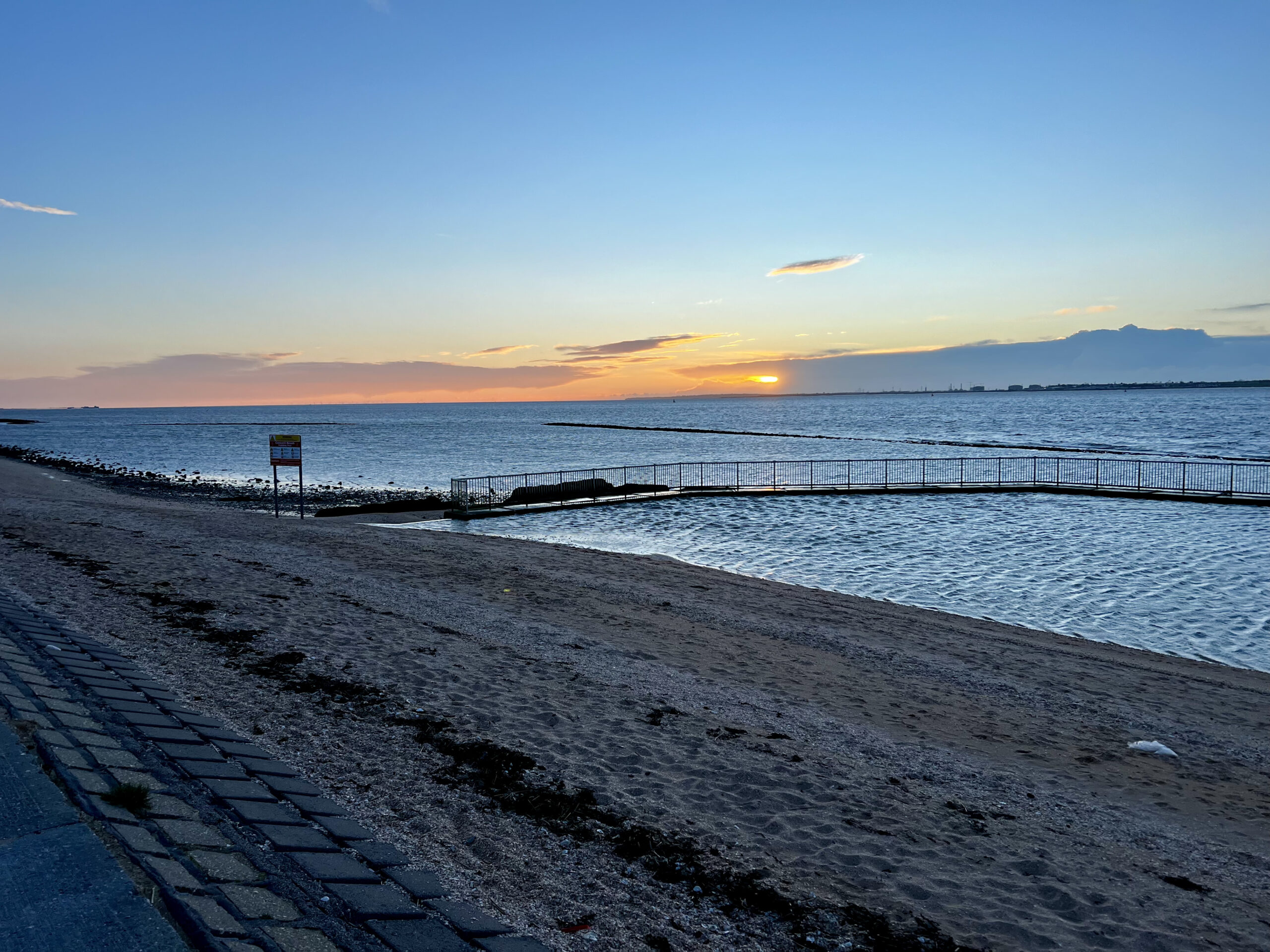
It was only a short now back to Concord Beach where I had started my journey and sun was out, the tide was coming in and there was plenty of people out enjoying their Sunday walk. Along the way i passed the well known Labworth Cafe filled with people enjoying some food whilst looking out across the estuary. And within a blink of an eye I was back where I had started and my journey was over.
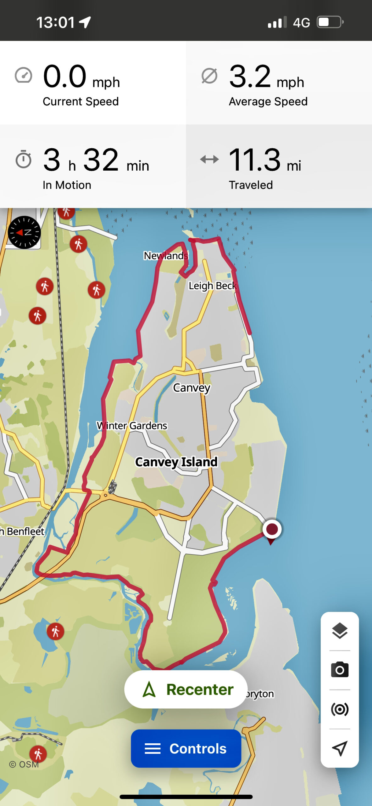
So there we have it, I walked a total of just under 14 miles along the bottom of the sea wall and also the top looking out across the River Thames. I walked along the banks of Benfleet Creek with its marsh lined banks derelict castle overlooking, stomped my way across the wild grassy pathway leading out towards the creeks floodgates before the scenery changed to that of heavy industry with jetties, pipelines and landing stages. Then past the industry and back to that of the good old British seaside resort. I loved it all and would recommend the route to anyone who fancies a trek that is a little different, and you get to eat fish n chips on the beach too.
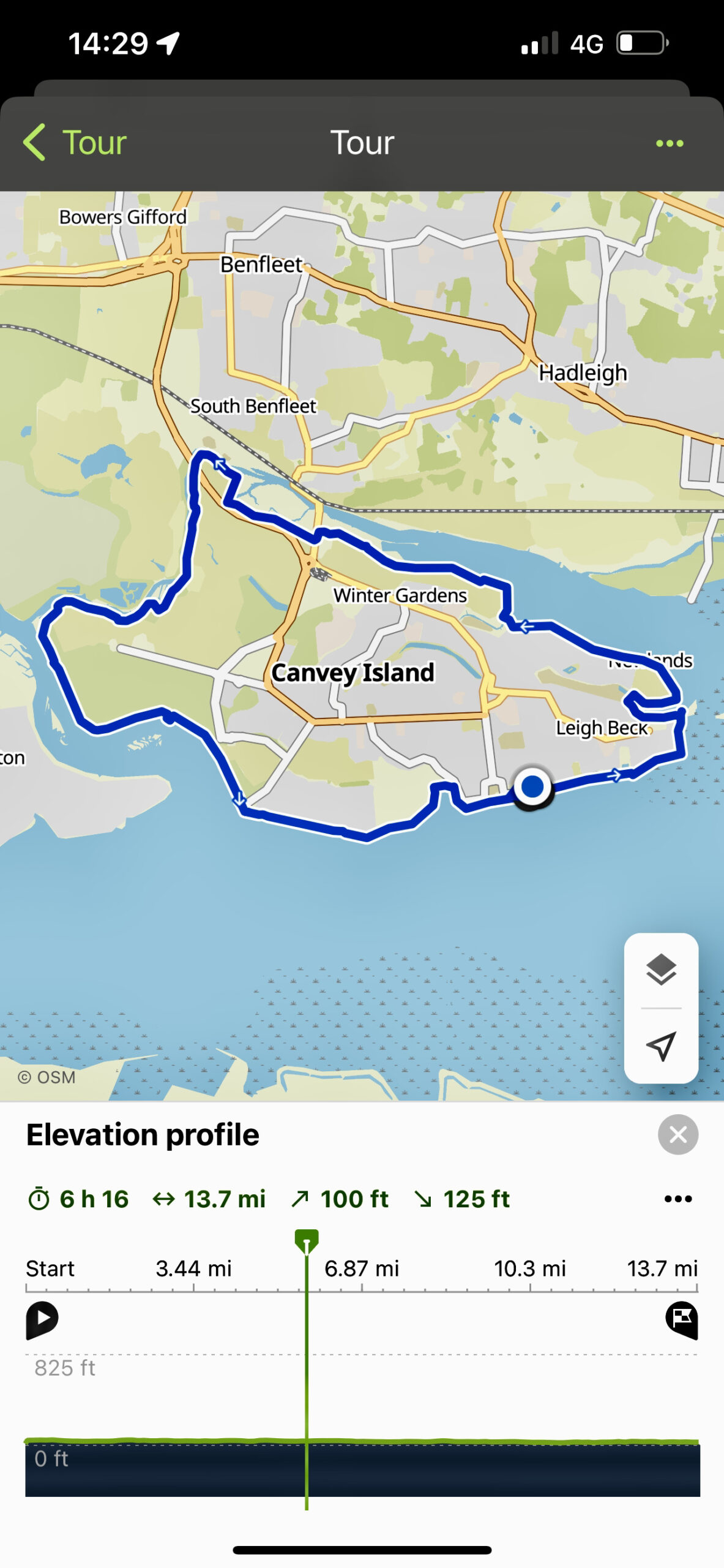
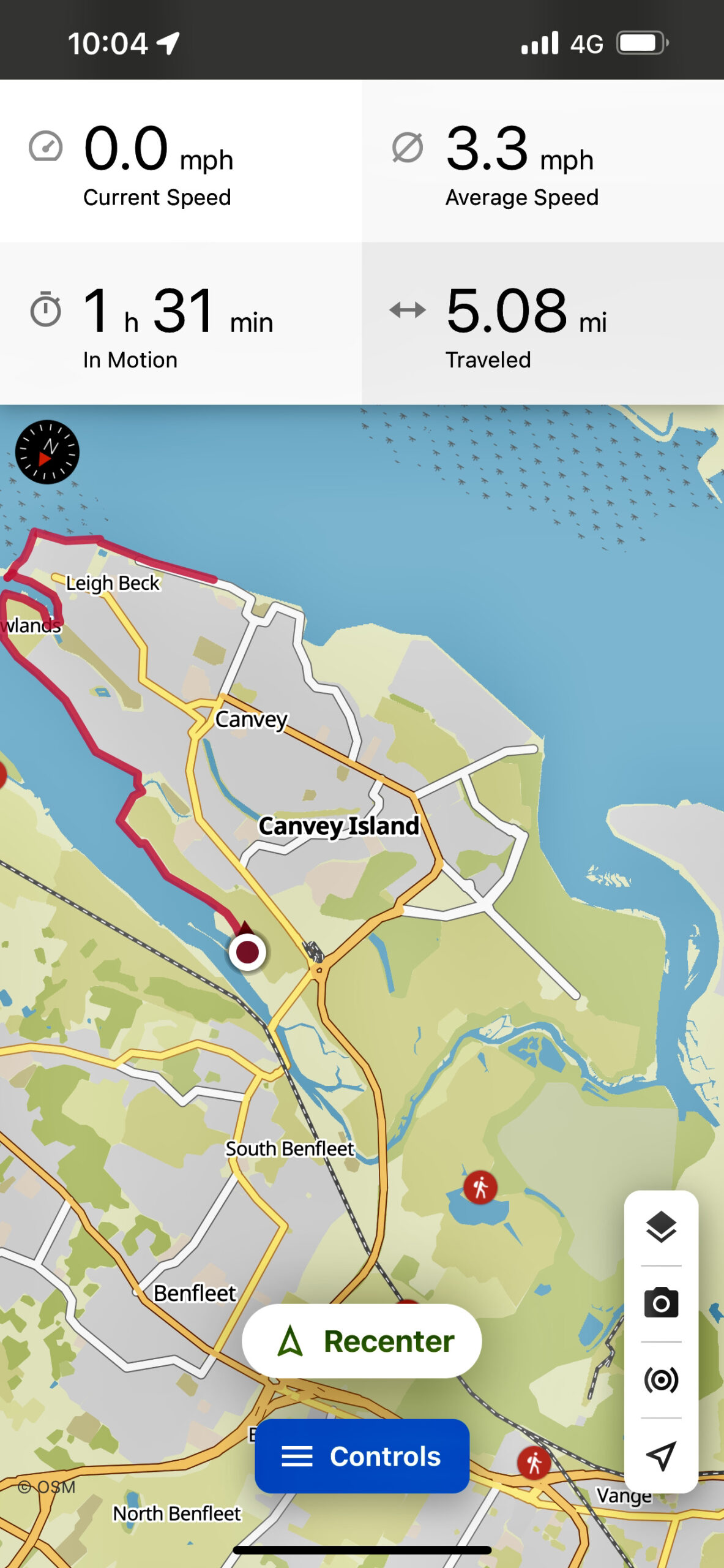
I have recorded the route I took on my KOMOOT walking app so click HERE if you want to see the exact route.